What is recorded here
In wet pasture, 160m W of townland boundary with Knockaunnacurraha. Possible barrow (LI049-246----) lies 40m to the SE and possible barrow (LI049-239----) 100m to SE. Not depicted on historic OSi maps. Possible monument listed as ‘Spittle 1’ and identified as a ring-barrow by Grogan (1989, 249). No surface remains visible on Google Earth orthoimages.
See attached Google Earth orthoimages.
Compiled by: Martin Fitzpatrick
Date of upload: 8 October 2021
The monument record does not grant public access. Check the route and ask the landowner before entering private land.
- What survives
- Recorded monument
Places near here
 Enclosure in Spittle (coshlea By., Ballylanders Ed)Enclosure · 397 yd
 Rathadooneen, HachuredFairy fort / earthen ringfort · 1065 yd
 bridgebridge · 1603 yd
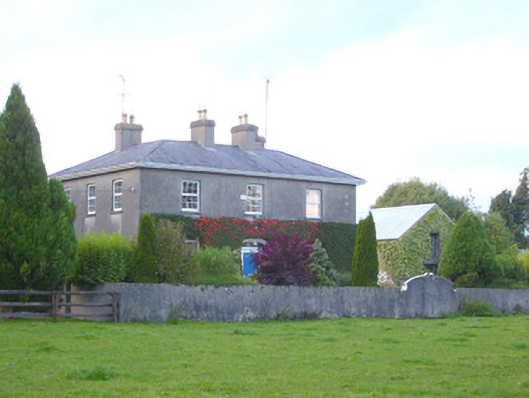 rectory/glebe/vicarage/curate's houserectory/glebe/vicarage/curate's house · 1.1 mi
 Site of Castle, Castle FieldCastle, unclassified · 1.2 mi
 Duntryleague HillMountain / peak · 2.1 mi
 Darby's Bed Walk LoopWalking route · 2.1 mi
 Duntryleague - hachuredCastle, ringwork · 2.1 mi
 Paradise HillMountain / peak · 2.7 mi
 Assaroula WaterfallWaterfall · 3.3 mi
 Saint Patrick's WellSpring · 3.7 mi
 Combaun WoodsViewpoint · 4.0 mi