What is recorded here
Cropmark of roughly circular-shaped enclosure/barrow (approx. diam. 10m) visible on Google earth aerial imagery.
Compiled by: Caimin O'Brien based on details kindly provided by Edward O'Riordan.
See attached image taken from Google Earth aerial photographs taken 28/06/2018.
Date of upload: 5 November 2018
A roughly circular barrow of uncertain classification, likely dating to the Bronze Age; its significance is primarily archaeological as part of the broader prehistoric landscape of Rathcoffey.
The monument record does not grant public access. Check the route and ask the landowner before entering private land.
- What survives
- Recorded monument
Places near here
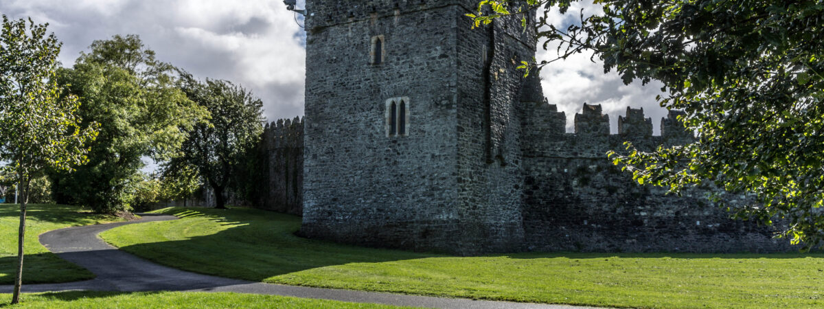 CastleCastle, Anglo-Norman masonry castle · 205 yd
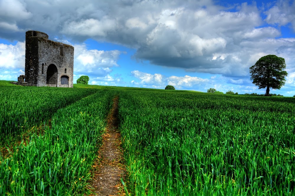 Enclosure in Rathcoffey DemesneEnclosure · 561 yd
 IndicatedFairy fort / ringfort · 760 yd
 Catholic Church of the Sacred Heartchurch/chapel · 1164 yd
 Richardstown Castle (in Ruins)Castle, tower house · 1.2 mi
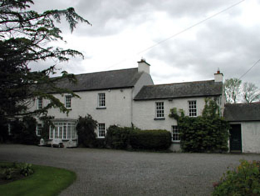 Baltracey Househouse · 1.3 mi
 Loughtown CovertWood · 1.9 mi
 Cocked Hat WoodWood · 2.5 mi
 Andrew FayMemorial · 3.7 mi
 Mass was there in Penal TimesMemorial · 3.7 mi
 Maynooth University South CampusHeritage attraction · 4.3 mi
 National Science MuseumMuseum · 4.4 mi