What is recorded here
Cropmark of circular-shaped feature possibly a levelled mound with enclosing ditch visible on Google earth aerial imagery.
See attached image taken from Google Earth aerial photographs taken 02/06/2018.
Compiled by: Caimin O'Brien based on details provided by Conall Coleman
Date of upload: 01 April 2019
The monument record does not grant public access. Check the route and ask the landowner before entering private land.
- What survives
- Recorded monument
Places near here
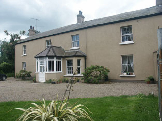 Oaklawnhouse · 395 yd
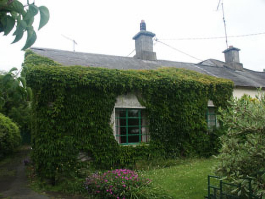 Corner Cottageworker's house · 518 yd
 Castle (in Ruins)Castle, ringwork · 715 yd
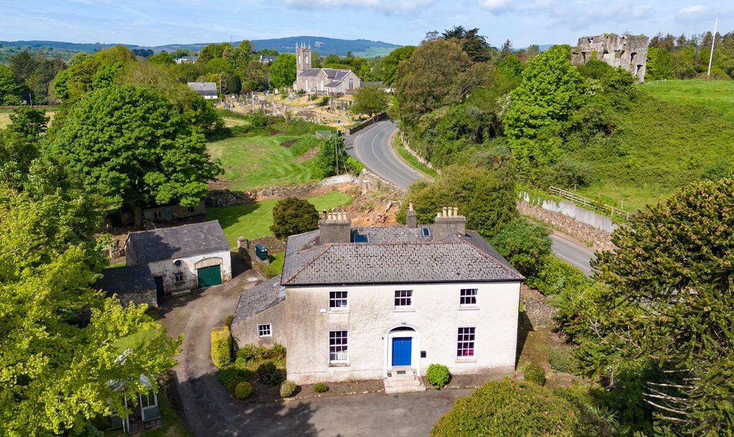 Enclosure in Newcastle LowerEnclosure · 1119 yd
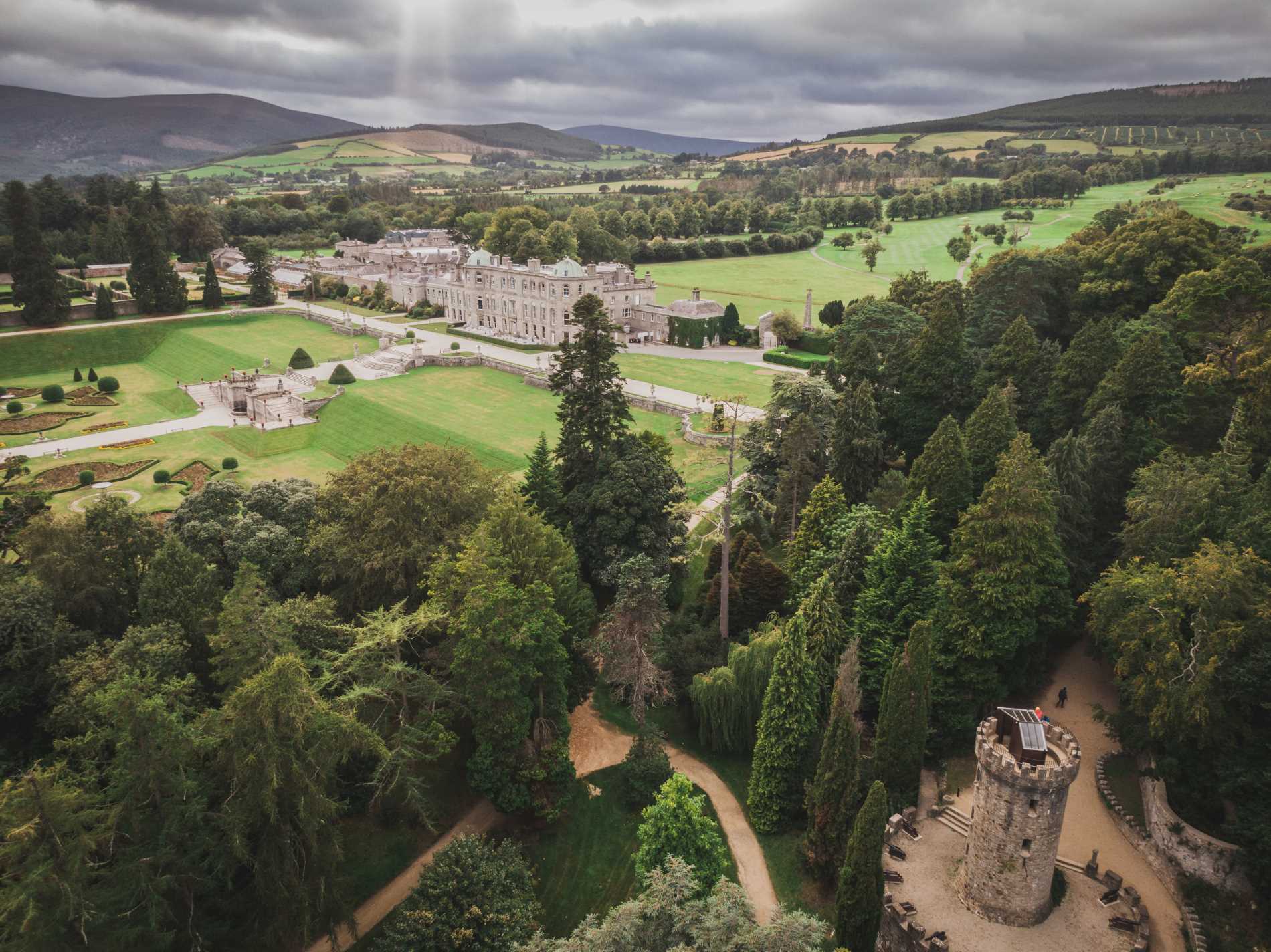 RingfortArchaeological place · 1376 yd
 East Coast Nature ReserveNature reserve · 1.1 mi
 CastleCastle, ringwork · 1.3 mi
 Leamore StrandBeach / strand · 1.7 mi
 SycamoreSycamore · 1.9 mi
 Glenroe FarmHeritage attraction · 3.2 mi
 Delgany Heritage TrailWalking route · 4.8 mi
 Devil's Glen WaterfallWaterfall · 4.9 mi