What is recorded here
Mota-Cillin rises sixteen metres across in low Louth fields, a round-topped earthen mound still bearing the shape of hands that built it before written memory. Locals called it Corrigan's Moat and whispered about burials hidden beneath its soil, perhaps a large flag stone waiting on the south-east edge. The mound remains under preservation order, guarding whatever human lives and losses still sleep inside its quiet circle.
The following description is derived from both the published 'Archaeological Inventory of County Louth' (Dublin: Stationery Office, 1986) and the 'Archaeological Survey of County Louth' (Dublin: Stationery Office, 1991). In certain instances the entries have been revised and updated in the light of recent research.
Date of upload/revision: 17 July 2007
Situated in low, arable land. Roughly circular, round-topped, earthen mound (diam. c. 16.5m, H 2.2-3m). Known locally as 'Mota-Cillin' (CLAJ 1965, 31) and 'Corrigan's Moat' (IFC Schools MSS 674, 162). Burials were reputedly found on the site (IFC Schools MSS 675, 97) and it was reported locally that 'a large flag', possibly a cist, was uncovered on the SSE side.
This monument is subject to a preservation order made under the National Monuments Acts 1930 to 2014 (PO no. 16/1977).
The monument record does not grant public access. Check the route and ask the landowner before entering private land.
- What survives
- Recorded monument
Places near here
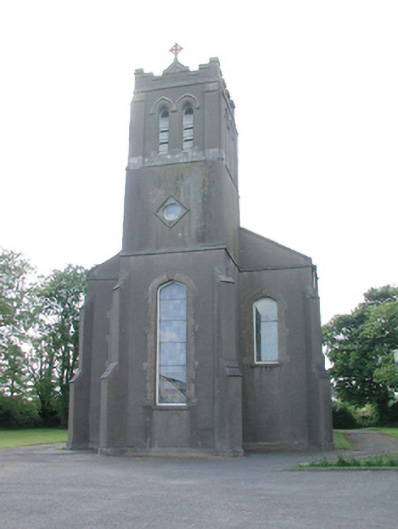 Catholic Church of the Assumptionchurch/chapel · 252 yd
 Enclosure in Milltown (ferrard By., Termonfeckin Par.)Enclosure · 488 yd
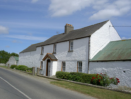 Sand Pitfarm house · 536 yd
 Field system in Carstown (ferrard By; Ballymakenny Par.)Field system · 1446 yd
 CarstownCastle, unclassified · 1452 yd
 CastleCastle, motte · 1.7 mi
 Beaulieu House and GardensHeritage attraction · 3.1 mi
 MonasterboiceEarly monastic site · 4.3 mi
 Yellow IslandIslet · 5.1 mi
 Grove IslandIslet · 5.2 mi
 Newgrange Business ParkMemorial · 5.3 mi
 Battle of the Boyne Visitor CentreMuseum · 5.6 mi