What is recorded here
The following description is derived from both the published 'Archaeological Inventory of County Louth' (Dublin: Stationery Office, 1986) and the 'Archaeological Survey of County Louth' (Dublin: Stationery Office, 1991). In certain instances the entries have been revised and updated in the light of recent research.
Date of upload/revision: 17 July 2007
Situated on slight natural rise in level tillage country. Circular, round-topped mound (diam. 22m, H 2.3-2.8m), truncated by agricultural practices on SW.
The monument record does not grant public access. Check the route and ask the landowner before entering private land.
- What survives
- Recorded monument
Places near here
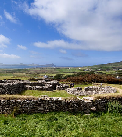 Fairy fort / earthen ringfort in MillgrangeFairy fort / earthen ringfort · 753 yd
 Enclosure in WillvilleEnclosure · 1227 yd
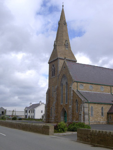 Catholic Church of the Star of the Seachurch/chapel · 1232 yd
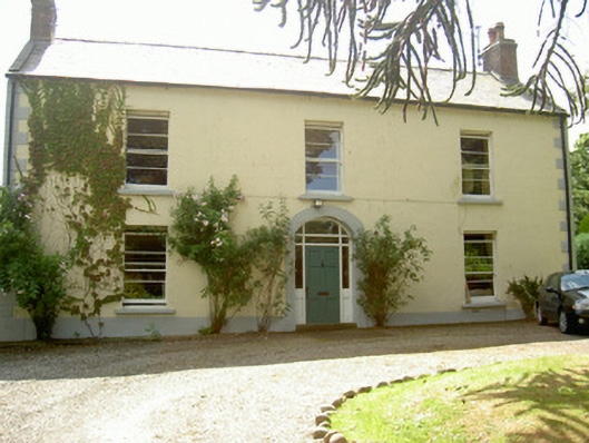 Grange Househouse · 1482 yd
 St James WellSpring · 1718 yd
 Castle in RuinsCastle, unclassified · 1.2 mi
 Ballug CastleCastle · 1.3 mi
 The BushPicnic place · 1.8 mi
 Cooley PointHeadland · 1.8 mi
 GreenoreVisitor information · 1.9 mi
 Greenore PointHeadland · 2.1 mi
 Grange UpperMountain / peak · 2.2 mi