What is recorded here
Cropmark of small circular-shaped enclosure (approx. diam. 13m) visible on Google earth aerial imagery.
See attached image taken from Google Earth.
Compiled by: Caimin O'Brien based on details kindly provided by Edward O'Riordan.
Date of upload: 3 November 2018
The monument record does not grant public access. Check the route and ask the landowner before entering private land.
- What survives
- Recorded monument
Places near here
 Chambers Bridge and 15th Lockbridge · 128 yd
 Enclosure in Newtownmoyaghy (deece Upper By., Moyglare Par.)Enclosure · 897 yd
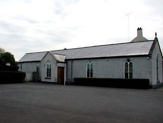 Catholic Church of the Assumptionchurch/chapel · 1.0 mi
 CrossCross, Market cross · 1.1 mi
 CastleCastle, unclassified · 1.5 mi
 Mass was there in Penal TimesMemorial · 1.5 mi
 Rodanstown fortCastle, motte · 1.9 mi
 Oscoil Na hÉirean Má NuadMemorial · 1.9 mi
 Maynooth University South CampusHeritage attraction · 2.0 mi
 Library GardenHeritage attraction · 2.0 mi
 The OrchardWood · 2.2 mi
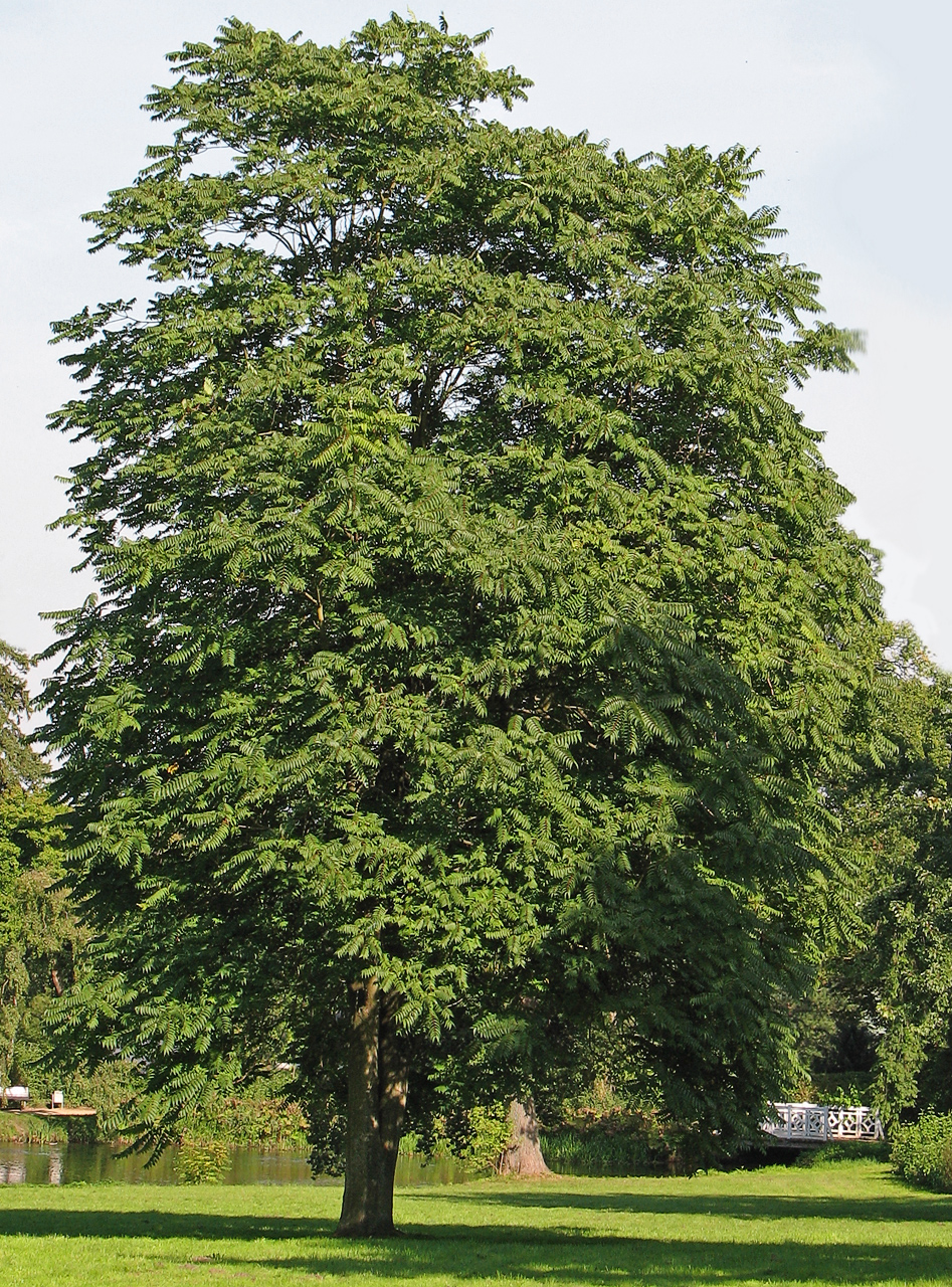 Tree of HeavenTree of Heaven · 2.2 mi