
What is recorded here
Located on a fairly level landscape. The cropmark of a circular enclosure (int. diam. c. 32m; ext. diam. c. 38m) defined by two fosses is partially visible on Google Earth (18/06/2018). Both ditches are visible WNW-NW and NE-SE, and traces of the outer ditch are also visible at WSW and W. The cropmark of a rectangular enclosure (dims c. 20m N-S; c. 20m E-W) defined by faint ditches is visible in the interior. The enclosure is also faintly visible on Google Earth (12/07/2013) and it was first reported by Simon Kendrick.
See the attached enhanced view from Google Earth (18/06/2018)
Compiled by: Michael Moore
Date of upload: 1 September 2022
The monument record does not grant public access. Check the route and ask the landowner before entering private land.
- What survives
- Recorded monument
Places near here
 Chambers Bridge and 15th Lockbridge · 804 yd
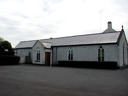 Catholic Church of the Assumptionchurch/chapel · 1440 yd
 IndicatedHoly well · 1576 yd
 Ecclesiastical site in KilcockEcclesiastical site · 1631 yd
 Rodanstown fortCastle, motte · 1.4 mi
 CastleCastle, unclassified · 1.7 mi
 Mass was there in Penal TimesMemorial · 1.8 mi
 Oscoil Na hÉirean Má NuadMemorial · 2.1 mi
 Library GardenHeritage attraction · 2.2 mi
 Maynooth University South CampusHeritage attraction · 2.2 mi
 The OrchardWood · 2.4 mi
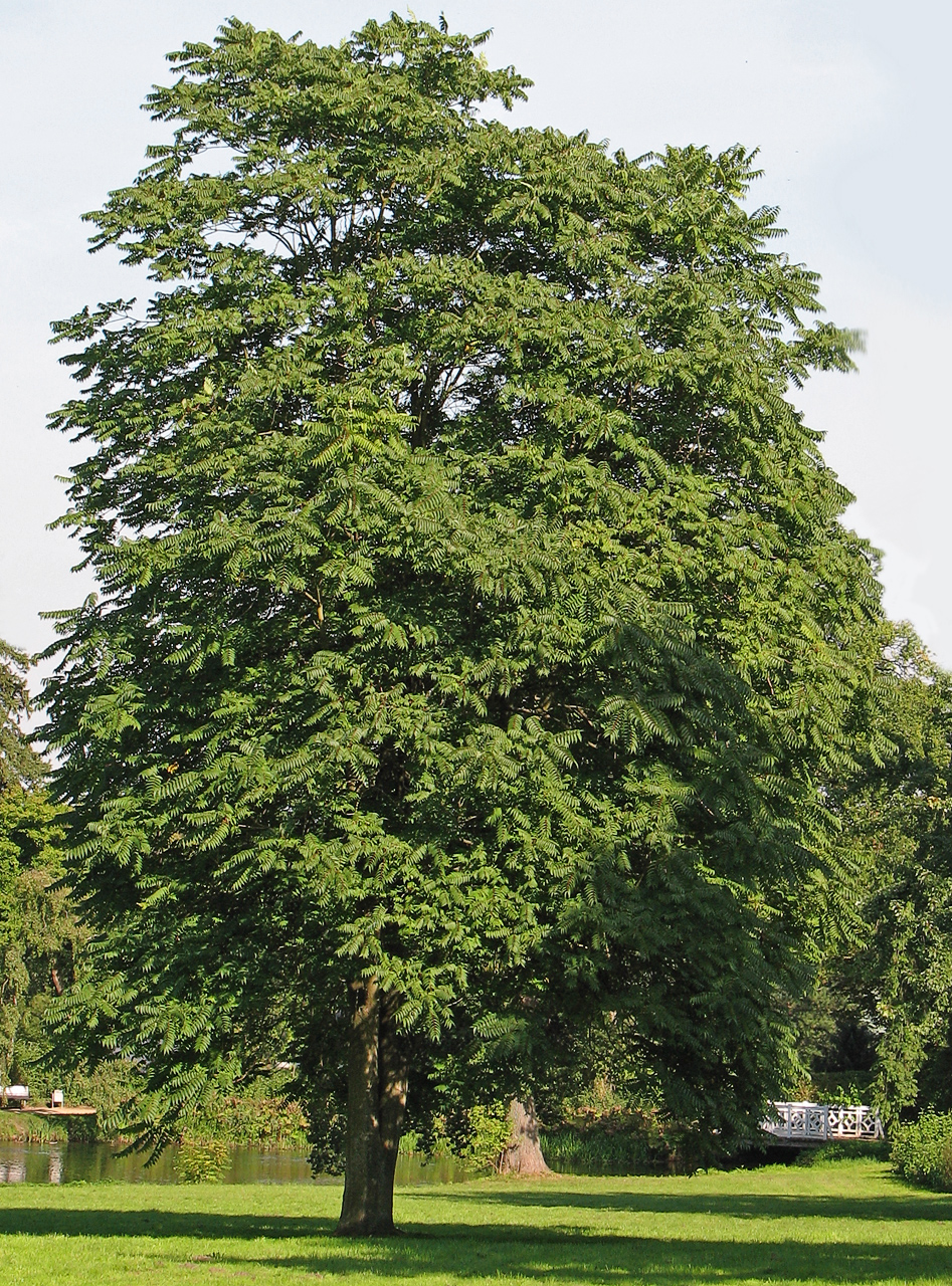 Tree of HeavenTree of Heaven · 2.4 mi
Other information
Photo: Credit not shown in the picture search · Rights wording not checked; contact us if this picture should be removed