What is recorded here
Cropmark of circular-shaped earthwork (approx. ext. diam. 27m; int. diam. 15m) defined by a shallow ditch visible on Digital Globe aerial imagery. Could be the remains of a ditch-barrow.
Compiled by: Caimin O'Brien
Date of upload: 16 April 2020
A possible ditch-barrow, potentially dating to the Early Bronze Age; its significance lies in its possible contribution to understanding burial practices and earthwork construction in the region.
The monument record does not grant public access. Check the route and ask the landowner before entering private land.
- What survives
- Recorded monument
Places near here
 Enclosure in LisnanaghEnclosure · 155 yd
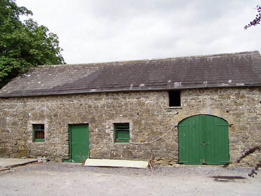 Lisnanagh Househouse · 421 yd
 Ecclesiastical enclosure in MoatfarrellEcclesiastical enclosure · 1335 yd
 Church (in Ruins)Church · 1341 yd
 CastleCastle, ringwork · 1733 yd
 IndicatedBawn · 1.0 mi
 Oldtown DemesneForest · 2.1 mi
 Oldtown CopseWood · 2.2 mi
 Edgeworthstown BypassMemorial · 2.3 mi
 Clonfin Ambush MemorialMemorial · 4.3 mi
 Bully's Acregraveyard/cemetery, unknown · 4.3 mi
 National Famine WayWalking route · 5.9 mi