What is recorded here
Near the top of a low hill, in unreclaimed pasture, on the S-facing slope of an oval hillock (c. 40m E-W; 20m N-S) which is likely natural and overlooking Lickeen Lough to the S. Hachured on the 1840 and 1916 OS 6-inch maps. Listed as ‘ring-barrow (possible)’ in the RMP (1996).
A subcircular mound of earth and shale (L 9.9m E-W; Wth 8m N-S) which varies in height (0.25-1.5m). A hole has been dug in the centre (D 2m) and is now overgrown with brambles. A curving channel (Wth 1m) has been dug at SE towards the road potentially to provide access to the interior and the road has truncated the edge of the barrow at S.
Compiled by: Mary Tunney and Lynda McCormack
Date of upload: 22 May 2022
The monument record does not grant public access. Check the route and ask the landowner before entering private land.
- What survives
- Recorded monument
Places near here
 Enclosure in KilcarraghEnclosure · 1248 yd
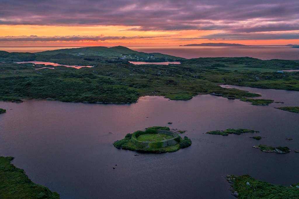 Doon FortHilltop enclosure · 1363 yd
 CastleCastle, unclassified · 1.0 mi
 Penitential station in CahersherkinPenitential station · 1.7 mi
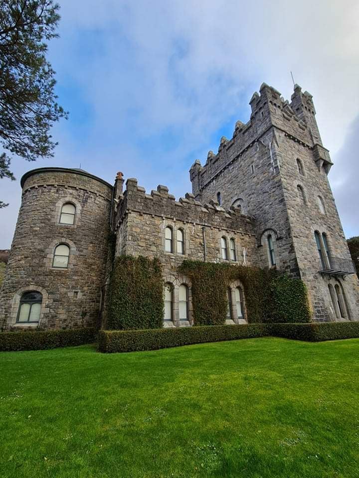 Tullagh Castle (in ruins)Castle, unclassified · 1.7 mi
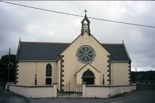 Saint Fachanan's Catholic Churchchurch/chapel · 1.8 mi
 Burren Centre KilfenoraVisitor information · 1.8 mi
 High CrossHeritage attraction · 1.9 mi
 Kilmanahn GraveyardRuins · 3.7 mi
 Famine MemorialMemorial · 3.7 mi
 Ballyteigue Nature ReserveNature reserve · 4.2 mi
 Lahinch BeachBeach / strand · 5.3 mi