What is recorded here
Situated on a gentle SE-facing slope within a slight basin with the head of an E-W stream c. 100m to the S and slightly higher ground all around, except to the W. Overgrown, low flat-topped mound (diam. c. 15m; H 0.5m) separated by a grass-covered berm (Wth 8.5m) from a wet, flat-bottomed fosse (Wth c. 4m; D 0.2-0.4m). A grass-covered outer berm (Wth c. 11m) separates the fosse from a slight outer fosse (Wth 2.5m; max. D 0.5m) NE-SE. The outer fosse is visible NW-S (max. ext. diam. c. 65m) on vertical aerial photographs (ACAP, V186/4-6).
The above description is derived from the published 'Archaeological Inventory of County Waterford' (Dublin: Stationery Office, 1999). In certain instances the entries have been revised and updated in the light of recent research.
Date of upload/revision: 10th October, 2011
Compiled by: Michael Moore
A low, flat-topped barrow, likely dating to the Early Bronze Age, representing a common form of burial monument in Ireland during this period. Its location within a natural basin may reflect ritual or symbolic landscape use, though its wider significance remains unclear due to lack of detailed excavation or contextual records.
The monument record does not grant public access. Check the route and ask the landowner before entering private land.
- What survives
- Recorded monument
Places near here
 Embanked enclosureFairy fort / earthen ringfort · 1295 yd
 Church (in ruins)Church · 1322 yd
 RoadRoad, road/trackway · 1349 yd
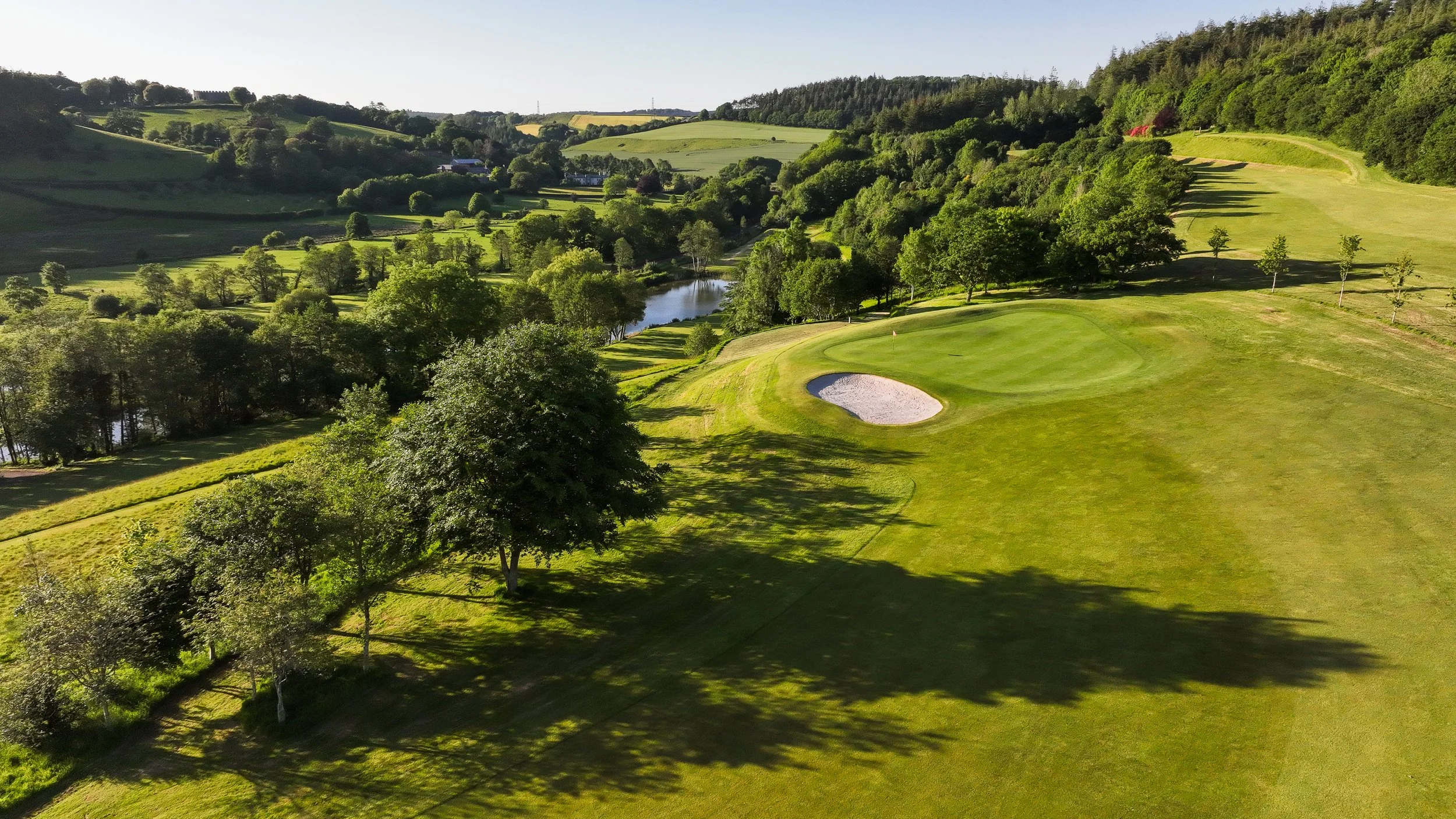 Fulacht fia in Grallagh LowerFulacht fia · 1732 yd
 Ardmore Open FarmHeritage attraction · 1.1 mi
 Site of CastleCastle, unclassified · 2.0 mi
 Clashmore Heritage CentreHeritage attraction · 2.7 mi
 Cabin PointHeadland · 3.1 mi
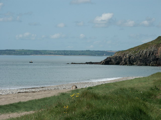 Caliso BayBeach / strand · 3.4 mi
 Ferry PointViewpoint · 3.6 mi
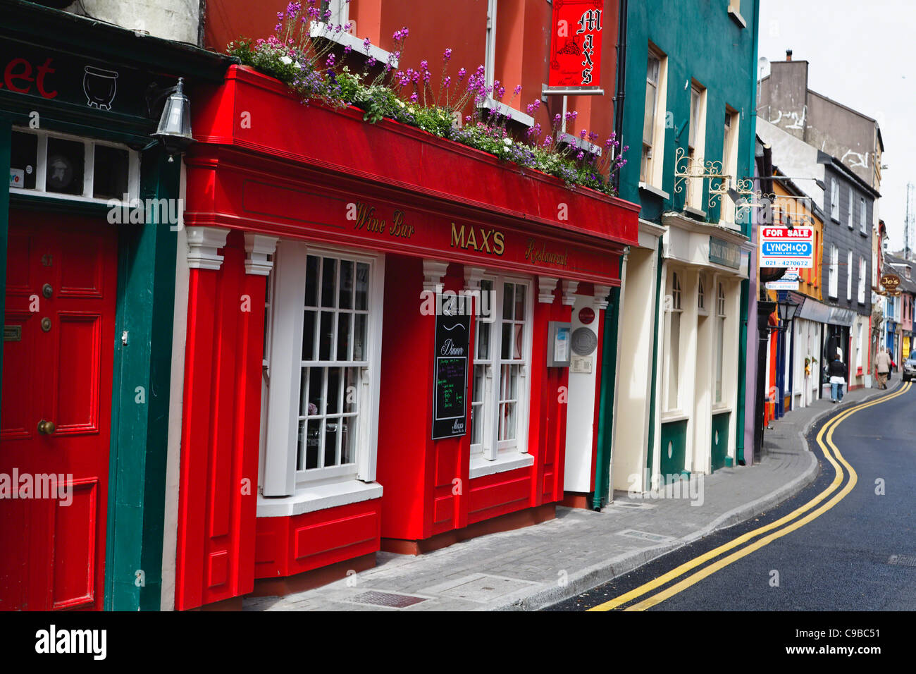 Store Street & New Catherine StreetVisitor information · 3.9 mi
 St Bridget's WellSpring · 3.9 mi