What is recorded here
On elevated area of a gentle S-facing slope, in undulating pasture, with good views of Knockseefin/Pallashill to WNW (O'Dwyer 1964, 96). Not depicted on OS historic mapping. Surveyed by the ASI in 2008 and described as a raised circular-shaped area (8m N-S; 7.25m E-W) enclosed by a bank (int. H 0.16m; ext. H 0.25m; Wth 3.55m) only visible from E-S-W-NW, elsewhere reduced to a scarp (H 0.4m; Wth 1.25m). A wide earthen field boundary running E-W (resembling a trackway), and a field drain are visible to the immediate S. Ring-barrow (LI024-053002-) and possible barrow (LI024-053003-) lie c. 50m to SW and E respectively. A high concentration of barrows are located within a 300m radius of this monument. Monument is not visible on Digital Globe orthophotos taken 2011-13 and on Google Earth orthoimages taken 28/06/2018.
See attached plan and cross-sections surveyed and drawn by the ASI.
Compiled by: Alison McQueen and Vera Rahilly
Date of upload: 15 July 2020
The monument record does not grant public access. Check the route and ask the landowner before entering private land.
- What survives
- Recorded monument
Places near here
 Mound in KnockballyfookeenMound · 331 yd
 BarrowBarrow, ring-barrow · 440 yd
 Cross Tuck MillsWater mill, unclassified · 866 yd
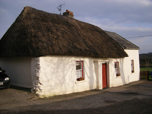 Highstreethouse · 1106 yd
 ToberagaddySpring · 1582 yd
 Kilduff CastleCastle · 1.0 mi
 Kilduff Castle (in ruins)Castle, tower house · 1.0 mi
 KnockseefinMountain / peak · 2.0 mi
 Oola HillMountain / peak · 3.2 mi
 St. Patrick's WellSpring · 3.8 mi
 Flat cemetery in Knockainy WestFlat cemetery · 8.0 mi
 RathbaunArchaeological place · 489 yd