What is recorded here
Located on a level landscape. This is a circular mound (diam. of base 28m NE-SW; H 4.3m) growing some young trees. It has stepped sides and a gently rounded top (diam. c. 5m NE-SW). The mound is truncated on the NW side by a NE-SW road and it is retained by the wall of the demesne of Johnstown Castle.
The above description is derived from the published 'Archaeological Inventory of County Wexford' (Dublin: Stationery Office, 1996). In certain instances the entries have been revised and updated in the light of recent research.
Compiled by: Michael Moore
Date of upload/revision: 27 May, 2013
The monument record does not grant public access. Check the route and ask the landowner before entering private land.
- What survives
- Recorded monument
Places near here
 Johnstown Castlegates/railings/walls · 277 yd
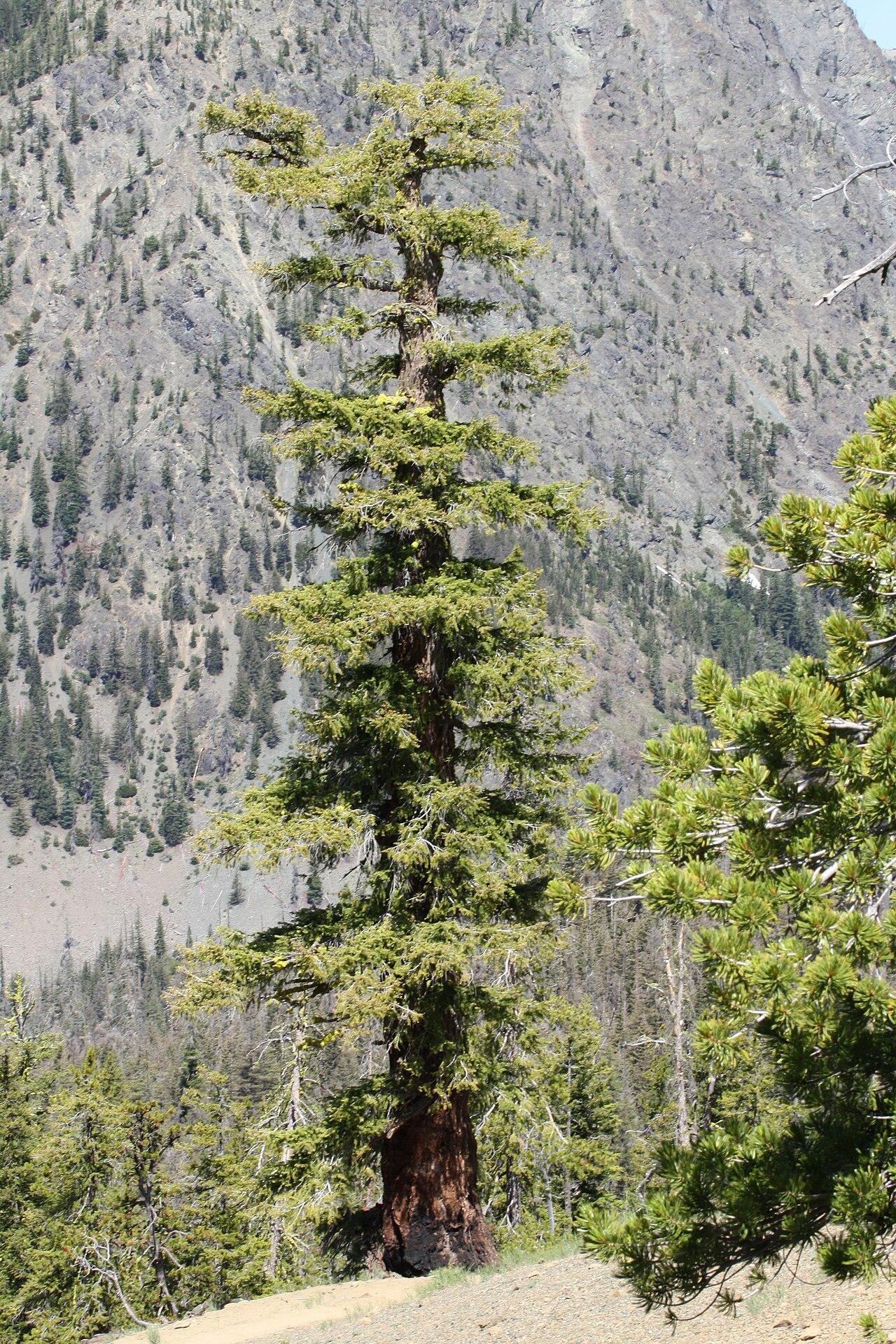 Douglas-firDouglas-fir · 341 yd
 American SweetgumAmerican Sweetgum · 475 yd
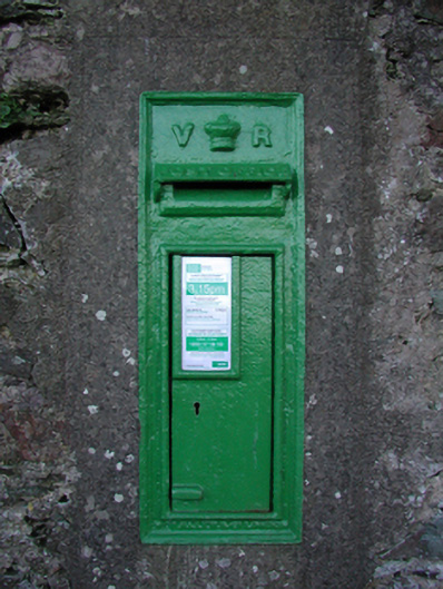 post boxpost box · 559 yd
 Font in RathaspickFont · 577 yd
 Irish Agricultural MuseumMuseum · 704 yd
 Johnstown Castle Visitor CentreHeritage attraction · 744 yd
 CastleCastle, tower house · 793 yd
 Dutchmans WellHoly well · 848 yd
 Castle (in ruinis)Castle, tower house · 1.6 mi
 16th Irish DivisionMemorial · 1.8 mi
 CarrickadeeMountain / peak · 2.8 mi