What is recorded here
Marked only on the 1915 ed. of the OS 6-inch map as a small feature (diam. c. 20m), and situated at the summit of a limestone hill. Described as an earthen mound which was thought to be sepulchral (OS Name Book). The location is now occupied by a quarry. Burial (RO042-107----) is c. 160m to the NE.
Compiled by: Michael Moore
Date of upload: 25 January 2010
The monument record does not grant public access. Check the route and ask the landowner before entering private land.
- What survives
- Recorded monument
Places near here
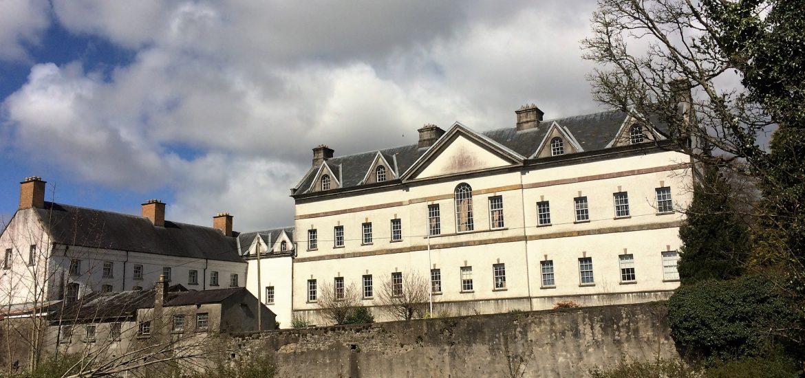 IndicatedCastle, unclassified · 336 yd
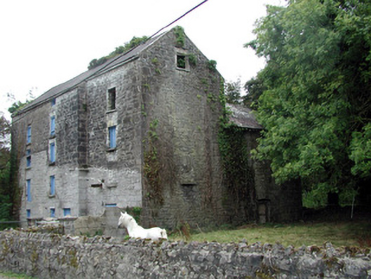 Lecarrow Millmill (water) · 1102 yd
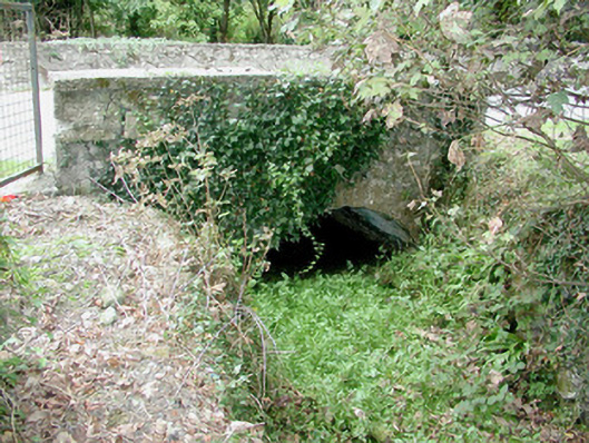 bridgebridge · 1118 yd
 St. Johns WellHoly well · 1383 yd
 Embanked enclosureFairy fort / earthen ringfort · 1.1 mi
 CastleCastle, tower house · 1.6 mi
 Blackbrink BayBay · 1.7 mi
 Galey BayBay · 2.0 mi
 Hangman's HillMountain / peak · 2.3 mi
 St. John's WoodWood · 2.5 mi
 Dogs IslandIslet · 2.7 mi
 InchmoreIslet · 2.7 mi