What is recorded here
In lowlying pasture, 170m SE of the Barnakyle River, 200m N of Elmpark House and 100m WNW of barrow (LI012-100----). This earthwork is not indicated on the 1840 OS 6-inch map or subsequent OS maps. The outline of a circular-shaped area (approx. dims. 30m N-S, 27m E-W) defined by a bank is clearly visible on both Digital Globe aerial photos taken 2011-2013 and Global Earth orthoimages taken in 2009 and 2018. Traces of a bank running NW-SE 7m to the N is also visible on these images.
See attached Google Earth orthoimages taken 19/11/2019 and 23/05/2018
Compiled by: Fiona Rooney
Date of upload: 22 June 2020
The monument record does not grant public access. Check the route and ask the landowner before entering private land.
- What survives
- Recorded monument
Places near here
 BarrowBarrow, unclassified · 167 yd
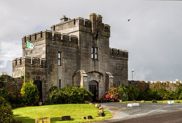 Elm Park Housegate lodge · 675 yd
 kilnkiln · 907 yd
 Grave YardGraveyard · 1264 yd
 Meelick Ho.House, fortified house · 1385 yd
 Carrigogunnell CastleRuins · 1.3 mi
 St James's WellSpring · 1.6 mi
 Sailors HaggardMemorial · 2.4 mi
 Grass IslandIslet · 4.3 mi
 Maiden RockNamed rock · 4.6 mi
 Mellon PointHeadland · 5.2 mi
 King's IslandIsland · 5.6 mi