What is recorded here
In grassland. Cropmark of circular-shaped earthwork (diam. c. 12m) defined by a ditch visible on Google Earth orthoimages.
See attached Google Earth orthophoto taken 20/01/2017
Compiled by: Caimin O'Brien based on details provided by Jean-Charles Caillère
Date of upload: 11 July 2022
The monument record does not grant public access. Check the route and ask the landowner before entering private land.
- What survives
- Recorded monument
Places near here
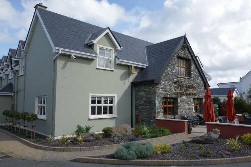 Enclosure in Curraheen (trughanacmy By.)Enclosure · 299 yd
 Man-made underground passage in Curraheen (trughanacmy By.)Man-made underground passage · 614 yd
 Derrymore Island Nature ReserveNature reserve · 1.5 mi
 Annagh Church (in ruins)Church · 1.7 mi
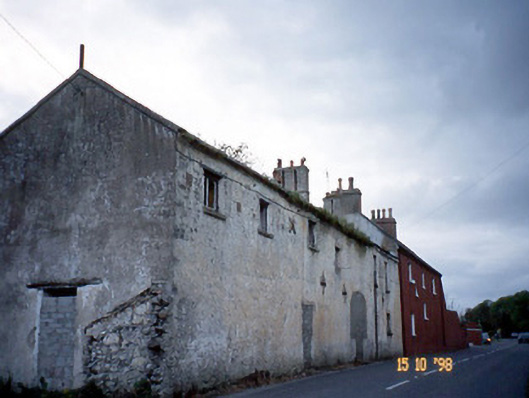 Kent Lodgegates/railings/walls · 2.0 mi
 Tralee Equestrian CentreHeritage attraction · 2.3 mi
 GormaghMountain / peak · 2.3 mi
 Glanbrack MountainMountain / peak · 2.6 mi
 Tralee Bay Wetlands Eco and Activity ParkNature reserve · 3.5 mi
 Sonny McCarthy MemorialMonument · 3.9 mi
 Castle MacallistrumCastle, unclassified · 3.9 mi
 Pádraig Mac PiaraisMemorial · 4.0 mi