What is recorded here
Situated on the W bank of the S-N Larah River. A large, low and grass-covered earthwork is most clearly visible in parched conditions on Apple Maps. It appears to consist of a central circular area (diam. c. 22m) separated by a fosse (Wth of base c. 5m) from a wide outer bank (Wth c. 10m) and an external fosse (Wth c. 10m). No entrance can be detected, although there might be a second outer bank (max. ext. diam. c. 75m). It is also visible on OSI images (2005-2012) and it is faintly traceable on Google Earth (08/04/2020; 13/04/2020).
See the attached view from Apple Maps
Compiled by: Michael Moore
Date of upload: 22 December 2021
A Bronze Age barrow; its significance lies in its potential as a burial monument reflecting early funerary practices in the region.
The monument record does not grant public access. Check the route and ask the landowner before entering private land.
- What survives
- Recorded monument
Places near here
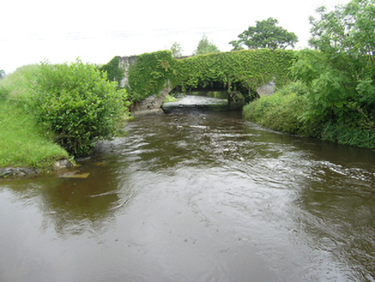 Curravogy Bridgebridge · 342 yd
 Giant's GraveArchaeological place · 554 yd
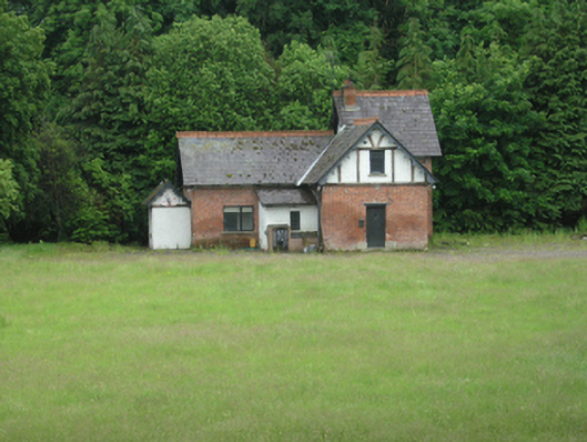 cottage orneecottage ornee · 797 yd
 Rookery WoodForest · 1001 yd
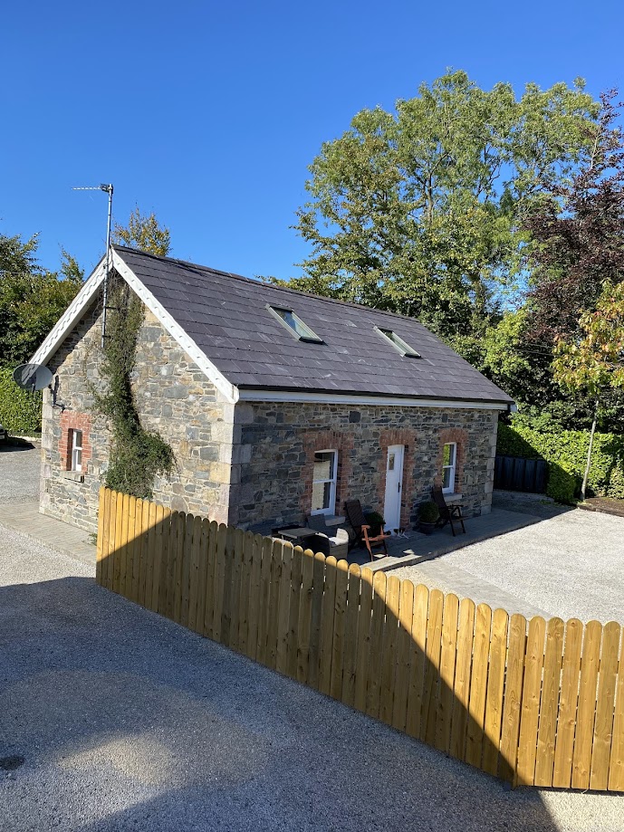 Enclosure in RakennyEnclosure · 1414 yd
 Paul's WoodForest · 1554 yd
 Fort HenryArchaeological place · 1742 yd
 DernaskeaghMountain / peak · 1.3 mi
 Embanked enclosureBawn · 1.9 mi
 Bawn in DrumsheilBawn · 2.0 mi
 CorickMountain / peak · 2.4 mi
 Giants GraveArchaeological place · 2.7 mi