What is recorded here
In low-lying ground, between drumlins. Described in 1995 as a low circular platform (diam. 37.2m E-W) defined by a slight scarp (H 0.1m) and composed of soil similar to that of an embanked barrow (SL033-117----) c. 100m to E; the platform surface was uneven and had traces of cultivation ridges; a N-S field boundary cut across the E half of the barrow (pers. comm. M. Keane and J. Farrelly). During a subsequent inspection, low irregular undulations were visible but no definite outline of the barrow was visible at ground level.
The above description is derived from the published 'Archaeological Inventory of County Sligo' compiled by Ursula Egan, Elizabeth Byrne, Mary Sleeman with Sheila Ronan and Connie Murphy (Dublin Stationery Office, 2005).
Date of upload: 18 January 2008
The monument record does not grant public access. Check the route and ask the landowner before entering private land.
- What survives
- Recorded monument
Places near here
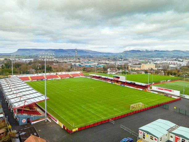 IndicatedFairy fort / earthen ringfort · 999 yd
 Abbey (in Ruins)Church · 1291 yd
 Enclosure in Rathdoony MoreEnclosure · 1335 yd
 RathdoonyCastle, motte · 1.3 mi
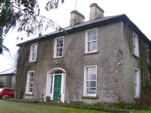 Castleview Househouse · 1.5 mi
 Brother WalfridMemorial · 1.6 mi
 Ballymote CastleCastle · 1.6 mi
 ElderElder · 2.3 mi
 Tymon's HillMountain / peak · 2.8 mi
 European ashEuropean ash · 2.9 mi
 Caves of KeshCave · 4.6 mi
 Kesh CorannMountain / peak · 5.0 mi