What is recorded here
Barrow is an unclassified barrow on a limestone reef in County Kerry, Ireland, where cattle trample and a stone wall bisects the ancient banks. The reef offers unobstructed views southwards toward a circular hollow ten metres wide, while loose limestone scatters across the damaged ground. What hands built there, and whether the hollow marked a dwelling, a shrine or a boundary, has faded under farm traffic and wall-making.
'These sites are situated on top of a limestone reef approximately 300m to the west of the cairn/complex [KE038-101----]. These sites have been much denuded because of an attempt to reclaim this reef which is located on a large dairy farm, and have been much trampled by cattle. Also a substantial N-S running stone wall has neatly bisected this reef, and probably utilised stone from the enclosures and banks in its construction. The top of this reef affords unobstructed views in all directions, but the dominant aspect is primarily southwards........to the south of this [KE038-163----] is a circular hollow 10.0m in diameter and 0.50m deep. Because of the overgrowth it is impossible to determine if there is an enclosing element surrounding this hollow. A large amount of loose limestone is scattered in this area.'
Compiled by Michael Connolly for the Archaeological Survey of Ireland as part of a survey of the Lee Valley area in 1996-97.
Date of upload: 25 April 2012
The monument record does not grant public access. Check the route and ask the landowner before entering private land.
- What survives
- Recorded monument
Places near here
 Megalithic structure in Camp (trughanacmy By., Ballyseedy Ed)Megalithic structure · 1 yd
 Hachured, CampEnclosure · 425 yd
 European YewEuropean Yew · 885 yd
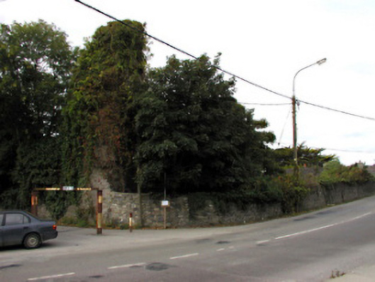 Castlemorriscastle/fortified house · 1167 yd
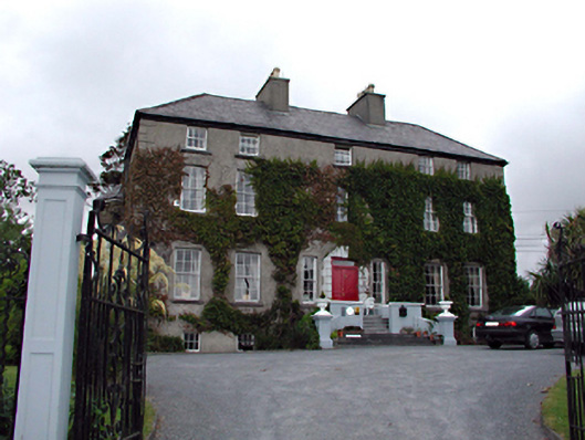 Castlemorris Househouse · 1191 yd
 Civil War MemorialMemorial · 1662 yd
 Ballyseedy WoodWood · 1735 yd
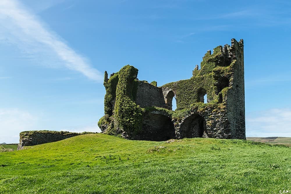 CastleCastle, unclassified · 1.1 mi
 Kerry County MuseumMuseum · 1.4 mi
 Sonny McCarthy MemorialMonument · 1.4 mi
 John Hurley GalleryGallery · 1.5 mi
 Castle MacallistrumCastle, unclassified · 1.8 mi