What is recorded here
On a slight S-facing slope on the Burren plateau and within a very large field system (CL009-001001-). An enclosure or possible barrow (diam. c. 23m E-W; c. 20m E-W) defined by a broad earthen bank (Wth c. 5-6m). Visible on OSi orthophotography (MapGenie 2013-2018). Cahermacnaghten (CL009-001010- ) lies c. 460m to the SE.
Compiled by: Mary Tunney
Date of upload: 29 March 2023
A Neolithic barrow; part of the Burren's extensive prehistoric landscape, reflecting early agricultural and ritual activity in the region.
The monument record does not grant public access. Check the route and ask the landowner before entering private land.
- What survives
- Recorded monument
Places near here
 Cahermacnaghten CashelHeritage attraction · 541 yd
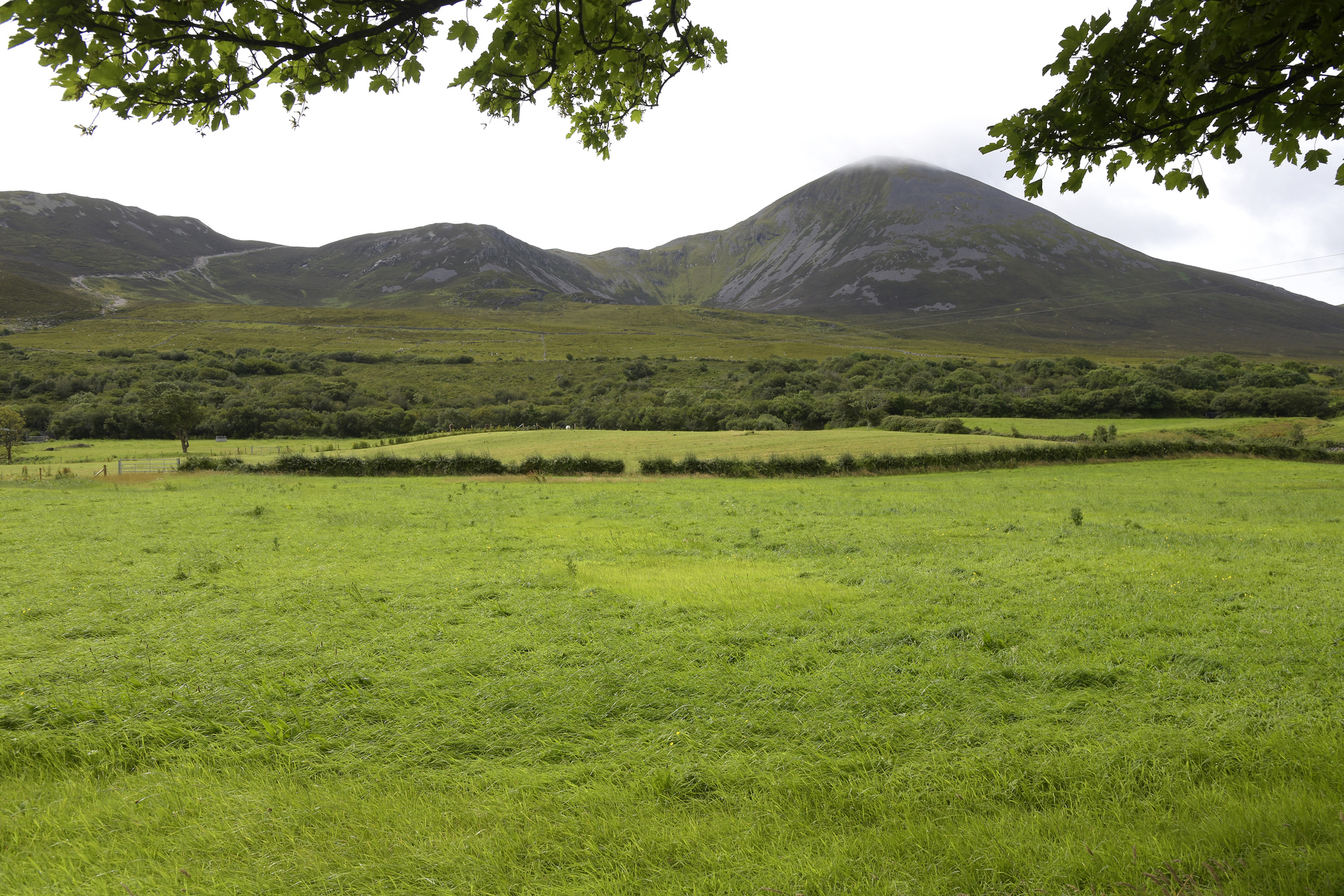 Enclosure in Croagh SouthEnclosure · 689 yd
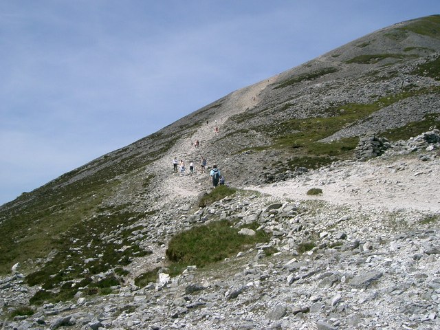 IndicatedEnclosure · 775 yd
 Cullaun 5 (C5b)Cave · 886 yd
 Cullaun 5 (C5)Cave · 1073 yd
 Site of Binroe CastleCastle, unclassified · 1.1 mi
 Penitential station in CahermakerrilaPenitential station · 1.2 mi
 Site of Ballymurphy CastleCastle, tower house · 1.5 mi
 Killeany Church in ruinsChurch · 1.7 mi
 Ballyteigue Nature ReserveNature reserve · 3.0 mi
 Slieve ElvaMountain / peak · 3.6 mi
 High CrossHeritage attraction · 4.0 mi