What is recorded here
In pasture on the NE slope of Brewel Hill. A second ringbarrow (KD032-022----) lay c. 120m to the ENE, a third (KD032-024----) c. 240m to the SE and a fourth (KD032-025----) c. 200m to the S. Described in 1985 as the barely perceptible traces of a low circular area (diam. c. 16m; H above base of fosse c. 0.4m) enclosed by traces of a fosse (SMR file). The monument is no longer clearly identifiable at ground level, but sub-surface features may survive intact.
Compiled by: Gearóid Conroy
Date of upload: 18 October 2013
A Neolithic ringbarrow; part of a small barrow group on Brewel Hill. Its location suggests it is part of a ritual landscape associated with early farming communities in the region.
The monument record does not grant public access. Check the route and ask the landowner before entering private land.
- What survives
- Recorded monument
Places near here
 Church in Brewel WestChurch · 179 yd
 Castle (in Ruins)House, fortified house · 424 yd
 Enclosure in Brewel East OR MervilleEnclosure · 612 yd
 Ceremonial enclosure in Brewel WestCeremonial enclosure · 671 yd
 HawthornHawthorn · 1566 yd
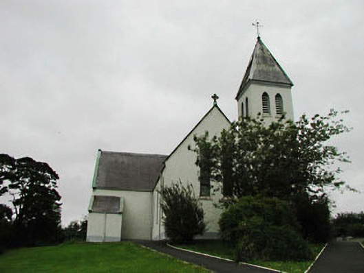 Saint Joseph's Catholic Churchchurch/chapel · 1.3 mi
 Narraghmore Nature ReserveForest · 1.8 mi
 Colbinstown Castle (in Ruins)Castle, unclassified · 2.0 mi
 Battle of Kilrushbattle · 4.6 mi
 1798 memorial stoneMonument · 5.0 mi
 Ballyhook HillMountain / peak · 5.2 mi
 Burtown House and GardensHeritage attraction · 6.6 mi