What is recorded here
Situated on the crest of a ridge, in undulating pastureland. A roughly circular area (diam. 20m NE-SW; 19.5m NW-SE) which has been disturbed; the perimeter of the site is obscured by brambles and scrub. The site is defined by a denuded, possibly levelled bank of earth and stone (Wth c. 1.5m; int. H 0.16m; ext. H 0.3-0.5m) and there is no visible evidence of an external fosse or entrance feature. A small manure heap is dumped in the interior at E.
The above description is derived from 'The Archaeological Inventory of County Tipperary. Vol. 1 - North Tipperary' compiled by Jean Farrelly and Caimin O'Brien (Dublin: Stationery Office, 2002). In certain instances the entries have been revised and updated in the light of recent research.
Date of upload/revision: 22 September 2008
The monument record does not grant public access. Check the route and ask the landowner before entering private land.
- What survives
- Recorded monument
Places near here
 Castle (in Ruins)Bawn · 507 yd
 Church in Bawnmadrum NorthChurch · 1137 yd
 Black HillMountain / peak · 1291 yd
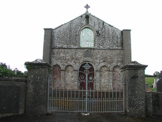 Saint Patrick's Catholic Chapelchurch/chapel · 1502 yd
 Man-made underground passage in BoolareaghMan-made underground passage · 1696 yd
 Carricknasrock WoodWood · 1.2 mi
 Man-made underground passage in Cullahill (bourney Par.)Man-made underground passage · 1.3 mi
 Castle in ruinsHouse, fortified house · 3.3 mi
 European BeechEuropean Beech · 3.9 mi
 Roscrea Petty Sessions HouseHeritage attraction · 4.6 mi
 College HillMountain / peak · 5.2 mi
 The Rectoryrectory/glebe/vicarage/curate's house · 1.6 mi