What is recorded here
Situated on a hillock, in pasture. A stream lies c. 32m to SW. Annotated 'Fort' on the 1837 OS Fair Plan map. Levelled monument described in 1971 as no surface remains visible. A complex of banks, scarps and quarry depressions are visible across this area and do not appear to form any discernible pattern. There are natural water-formed scarps at the base of the hillock. The monument is visible today as a roughly circular-shaped cropmark on OSI aerial photographs and as a semicircular-shaped earthwork defined by a fosse and outer bank on Digital Globe aerial photography. The morphology of the monument visible on Digital Globe aerial photography suggests that this may be the remains of a barrow rather than a ringfort.
Compiled by Alison McQueen, Vera Rahilly and Caimin O’Brien.
Date of upload: 11 September 2019
The monument record does not grant public access. Check the route and ask the landowner before entering private land.
- What survives
- Recorded monument
Places near here
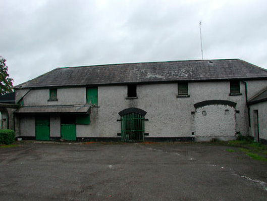 Barrettstown Houseoutbuilding · 610 yd
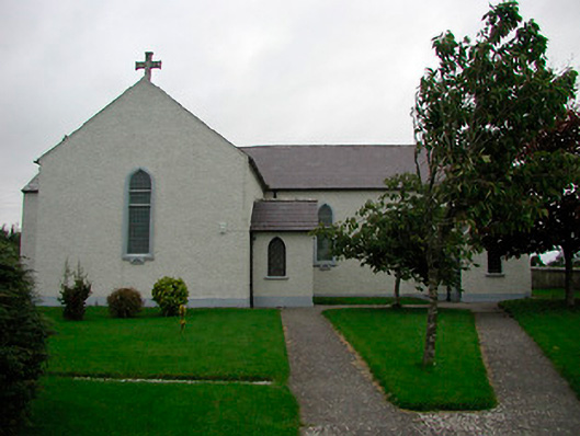 Saint Patrick's Catholic Churchchurch/chapel · 875 yd
 Enclosure in Dysart (moyashel & Magheradernon By.)Enclosure · 1037 yd
 Field system in Dysart (moyashel & Magheradernon By.)Field system · 1168 yd
 Dysart Ho. (in ruins)Castle, unclassified · 1.1 mi
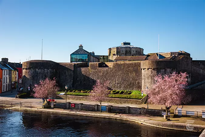 Oldtown CastleCastle · 1.2 mi
 Ancient Ring FortWood · 1.5 mi
 Hill of UisneachMountain / peak · 4.1 mi
 European ashEuropean ash · 4.9 mi
 Bonfire HillMountain / peak · 8.7 mi
 Kilmalady HillMountain / peak · 9.0 mi
 Abbeyshrule AbbeyRuins · 11 mi