What is recorded here
In wet unimproved pasture, 10m W of a stream. A ring-barrow (LI024-214----) lies 150m to NW. Depicted on the 1897 ed. OS 25-inch map as a roughly circular-shaped platform defined by a scarp. Surveyed by the ASI in 2007 and described as a raised roughly circular-shaped area (dims. 26m NNE-SSW; 24m ESE-WNW) defined by a scarp and outer fosse (base Wth 9.5m; D 0.75m) from E-NW. The raised interior (max. H. 2.65m) has a possible ring-barrow in S quadrant. The monument is visible as a roughly circular-shaped earthwork surrounded by a ditch overgrown with rushes on OSi orthophoto taken between 2005-12 and on Google Earth orthoimages.
See attached Google Earth orthoimages
Compiled by: Martin Fitzpatrick
Date of upload: 3 April 2021
A Bronze Age barrow; its significance lies in its potential as a funerary or ceremonial monument, typical of the period in the Irish landscape.
The monument record does not grant public access. Check the route and ask the landowner before entering private land.
- What survives
- Recorded monument
Places near here
 BarrowBarrow, ring-barrow · 16 yd
 St. Patrick's WellSpring · 538 yd
 Milltown Abbey (Site of)Religious house, Carmelite friars · 698 yd
 R.C. ChapelChurch · 1000 yd
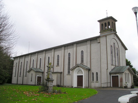 Catholic Church of Saint Patrick and Saint Brigidchurch/chapel · 1038 yd
 Kilteely HillMountain / peak · 1327 yd
 Carrickittle RockCastle, unclassified · 1.2 mi
 CashlanCastle, unclassified · 2.0 mi
 KnockseefinMountain / peak · 2.5 mi
 Flat cemetery in Knockainy WestFlat cemetery · 4.7 mi
 St Patrick's WellSpring · 6.9 mi
 Ballinvreena LoopVisitor information · 9.8 mi