
What is recorded here
In the S quadrant of large barrow or burial mound (LI033-015001-). Surveyed by the ASI in 2007 and described as a sub-circular shaped area (4.2m N-S; 4.5m E-W) defined by a scarp (Wth 1m; H 1.2m), fosse (base Wth 0.5m) and outer bank (Wth 2.75m; H 0.2m). Visible as a roughly circular-shaped depression (diam. c. 4m) in the S of interior on OSi orthophotos 2005-12 and on Google Earth orthoimages taken 28/06/2018.
See attached Google Earth orthoimages dated 18/11/2018
Compiled by: Martin Fitzpatrick
Date of upload: 3 April 2021
See attached ASI aerial photograph ASIAP - 132/35 on 23/08/2000. 352/24 on 05/01/2003. 353/13, 15, 19 on 05/01/2003.
A ring-barrow, likely dating to the Early Bronze Age. It represents a type of burial monument associated with single inhumations and is significant for understanding funerary practices in the region.
The monument record does not grant public access. Check the route and ask the landowner before entering private land.
- What survives
- Recorded monument
Places near here
 St. Patrick's WellSpring · 523 yd
 Milltown Abbey (Site of)Religious house, Carmelite friars · 699 yd
 Enclosure in Knockroe (coonagh By.)Enclosure · 912 yd
 R.C. ChapelChurch · 984 yd
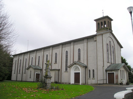 Catholic Church of Saint Patrick and Saint Brigidchurch/chapel · 1023 yd
 Kilteely HillMountain / peak · 1311 yd
 Carrickittle RockCastle, unclassified · 1.2 mi
 CashlanCastle, unclassified · 2.0 mi
 KnockseefinMountain / peak · 2.5 mi
 Flat cemetery in Knockainy WestFlat cemetery · 4.7 mi
 St Patrick's WellSpring · 6.9 mi
 Ballinvreena LoopVisitor information · 9.7 mi
Other information
Photo: Credit not shown in the picture search · Rights wording not checked; contact us if this picture should be removed