
What is recorded here
Barrow is a circular stone platform in upland pasture, County Limerick, Ireland, still visible beside Bothar na bhfian and a standing stone. It has watched sheep, storms and forgotten foottraffic for generations. The road name hints that people once believed fairies used that place, while the stones suggest humans also shaped it long before maps existed.
In upland pasture 175m NE of the townland boundary with Ballinlyna and 130m NW of a large forestry plantation. Standing stone (LI056-056----) 50m to S and roadway (LI056-021----) known locally as 'Bothar na bhfían' lies 40m to SE. Depicted on the 1840 ed. OSi 6-inch map as a circular-shaped platform defined by a scarp. Shown on the 1897 ed. OSi 25-inch map as a circular-shaped area(diam. c. 25m) enclosed by a bank with small mound in W quadrant of platform. Monument visible as circular shaped area enclosed by a tree-lined bank on Digital Globe orthoimage taken between 2011-2013 and on Google Earth orthoimages.
See attached Google Earth orthoimages
Compiled by: Fiona Rooney
Date of upload: 24 November 2021
The monument record does not grant public access. Check the route and ask the landowner before entering private land.
- What survives
- Recorded monument
Places near here
 Man-made underground passageMan-made underground passage · 307 yd
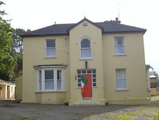 Hillsidehouse · 673 yd
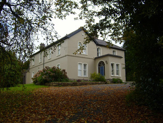 Glendove Househouse · 705 yd
 Mound in Ballyroe UpperMound · 793 yd
 Treada Na Ríogh (The Moat), hachuredCastle, motte · 848 yd
 Ballyhoura tourist informationVisitor information · 887 yd
 Castle (in ruins)Castle, tower house · 1046 yd
 Palatine's RockNamed rock · 1.4 mi
 Ballyhoura WayWalking route · 1.6 mi
 Gooseberry HillMountain / peak · 1.6 mi
 Keale MountainMountain / peak · 1.7 mi
 ToberpatrickSpring · 2.6 mi
Other information
Photo: Credit not shown in the picture search · Rights wording not checked; contact us if this picture should be removed