What is recorded here
Mound-barrow described in 1943 as following; This monument consists of a, circular mound which does not seem to have had a fosse (Fig. 11). There is no bank either on the platform or ground the mound. The maximum height of the platform is 7' [2m] and the overall diameter is 120' [36.5m]. It is situate on the bank of the Ballynamona River and during drainage operations on this, part of the mound on the south side has been cut away. The land around it is marshy. The barrow is in the north-east quadrant of the platform. It consists of very low mound surrounded by a fosse. Its overall diameter is 30' [9m]' (O'Kelly 1942-3, 178-9).
See attached profile of monument taken from O'Kelly 1942-3, Fig. 11
Compiled by: Caimin O'Brien
Date of upload: 26 February 2020
The monument record does not grant public access. Check the route and ask the landowner before entering private land.
- What survives
- Recorded monument
Places near here
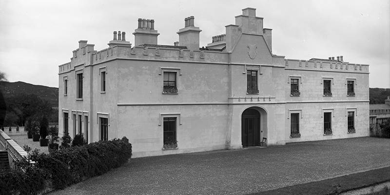 BarrowBarrow, unclassified · 96 yd
 Enclosure in Ballynamona (smallcounty By., Hospital Ed)Enclosure · 231 yd
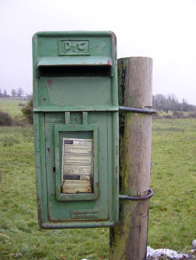 post boxpost box · 390 yd
 Ballynamona Church (in ruins)Church · 651 yd
 Ballynamona Castle (Site of)Castle, unclassified · 679 yd
 Bawn in Ballinscoola (smallcounty By., Cahercorney Ed)Bawn · 1.4 mi
 KnockainyMountain / peak · 1.9 mi
 Flat cemetery in Knockainy WestFlat cemetery · 2.1 mi
 Kilteely HillMountain / peak · 2.3 mi
 St. Patrick's WellSpring · 2.7 mi
 St Patrick's WellSpring · 5.4 mi
 Carn (site of)Cairn, burial cairn · 6.4 mi