What is recorded here
In reclaimed pasture, possible (LI040-195002-) lies 8m to the SW. Identified as a small circular cropmark of a possible ring-barrow by the Bruff aerial photographic survey in 1986 (Bruff 41.02; AP 5/2068). Faint trace of circular cropmark (diam. c. 5m) visible on Digital Globe orthoimage taken between 2011-13. Linear cropmarks running N-S and E-W to the N and E of the possible barrow represent relic post-1700 field boundaries depicted on the 1840 ed. OSi 6-inch map. Linear cropmarks throughout the field would appear to represent drainage channels. No surface remains visible on Google Earth orthoimages.
See attached Bruff survey image showing cropmark labelled Bruff 41.02 and Google Earth orthoimage.
Compiled by: Fiona Rooney
Date of upload: 24 June 2021
The monument record does not grant public access. Check the route and ask the landowner before entering private land.
- What survives
- Recorded monument
Places near here
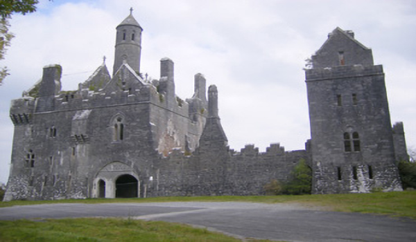 BarrowBarrow, unclassified · 27 yd
 Ballygrennan Castle (in ruins)Castle, tower house · 559 yd
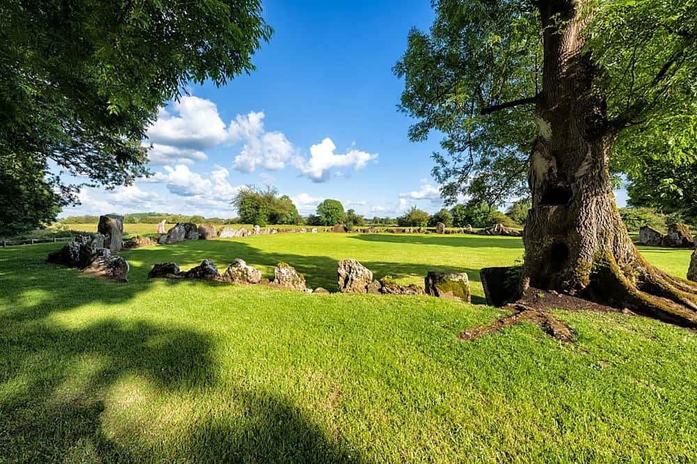 Cultivation ridges in Ballygrennan (coshma By., Bruff Ed)Cultivation ridges · 629 yd
 RoadRoad, road/trackway · 1243 yd
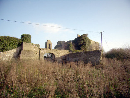 Greenpark Housecountry house · 1518 yd
 Castle (in ruins)Castle, unclassified · 1749 yd
 KnockainyMountain / peak · 3.0 mi
 Flat cemetery in Knockainy WestFlat cemetery · 3.6 mi
 St Patrick's WellSpring · 6.1 mi
 Edmund's WellSpring · 6.4 mi
 Ballinvreena LoopVisitor information · 6.5 mi
 SlievereaghMountain / peak · 8.1 mi