What is recorded here
Situated in area of modern forestry plantation with ring-barrow (WM018-106----) 80m to NNE. Small mound may be the remains of a possible barrow visible on Digital Globe aerial photography. Not depicted on any edition of the OS maps. Exclusion zone of forestry around the low mound in a similar fashion to nearby ring-barrow.
Compiled by: Caimin O'Brien
Date of upload: 11 February 2019
The monument record does not grant public access. Check the route and ask the landowner before entering private land.
- What survives
- Recorded monument
Places near here
 Glascarn Househouse · 478 yd
 St. Patricks WellHoly well · 1260 yd
 OutlinedEnclosure · 1379 yd
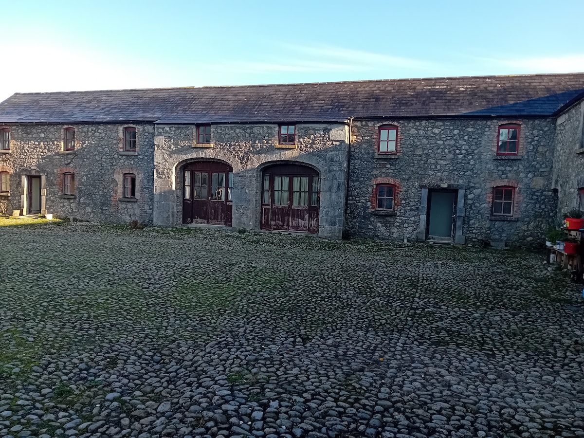 Bawn in BalleagnyBawn · 1410 yd
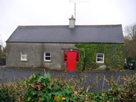 Bushmills Cottagehouse · 1472 yd
 CastleCastle, unclassified · 1502 yd
 WestmeathVisitor information · 1.2 mi
 Ancient Ring FortWood · 1.5 mi
 Hill of UisneachMountain / peak · 3.9 mi
 Carrickphilbin IslandIslet · 4.5 mi
 Baronstown ForestWood · 4.8 mi
 Srudarra IslandIslet · 4.9 mi