
What is recorded here
Situated on a low rise in rough, undulating pasture with very good views to NW but restricted elsewhere due to higher ground. Depicted on the 1837 ed. OS 6-inch map as a heptagonal-shaped enclosure. Depicted on the 1913 ed. OS 25-inch map as an oval-shaped earthwork. Monument described in 1980 as a large oval-shaped area (dims. 63m N-S; 36.5m E-W) enclosed by a bank and an outer fosse. The low bank is best preserved from S-SW and has a large number of disturbance gaps where eroded by livestock. There is no obvious entrance. The fosse is narrow and shallow where discernible from NW-NNW. The interior rises unevenly from the perimeter towards the centre and has old cultivation ridges running N-S. An old field bank and drain runs roughly NE-SW past the site to NW. A drain and hedge run NE-SW past the site to SE. Monument is clearly visible as an oblong-shaped earthwork on Digital Globe aerial photography.
Compiled by: Alison McQueen, Vera Rahilly and Caimin O’Brien
Date of upload: 04 February 2019
The monument record does not grant public access. Check the route and ask the landowner before entering private land.
- What survives
- Recorded monument
Places near here
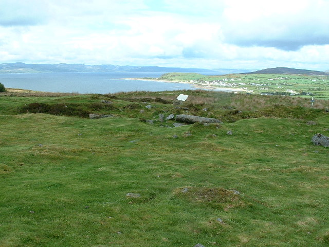 Enclosure in Kilpatrick (rathconrath By.)Enclosure · 253 yd
 Partially hachuredEnclosure, large enclosure · 343 yd
 Simonstown Castle (in Ruins)Castle, unclassified · 374 yd
 Site of CastleCastle, unclassified · 416 yd
 Glascarn Househouse · 1675 yd
 Cartron Househouse · 1.0 mi
 Ancient Ring FortWood · 1.5 mi
 WestmeathVisitor information · 1.5 mi
 Baronstown ForestWood · 4.1 mi
 Carrickphilbin IslandIslet · 4.3 mi
 Hill of UisneachMountain / peak · 4.4 mi
 Srudarra IslandIslet · 4.8 mi
Other information
Photo: Credit not shown in the picture search · Rights wording not checked; contact us if this picture should be removed