What is recorded here
Situated on the summit of a low drumlin hill. The NW site is very poorly preserved. It comprises an ill-defined low circular earthen mound (int. diam. c. 10.5m) enclosed by vague traces of a bank with internal fosse. Original entrance may have been at E. From ESE-S-SSW its bank merges with that of the SE barrow. The SE site comprises a low circular earthen platform (int. diam. 6.6m; H 0.5m) enclosed by a low but well-defined earthen bank with internal narrow fosse. Break in bank with accompanying causeway at E represents original entrance.
The above description is derived from the published 'Archaeological Inventory of County Cavan' (Dublin: Stationery Office, 1995). In certain instances the entries have been revised and updated in the light of recent research.
Date of upload/revision: 22 December 2008
This monument is subject to a preservation order made under the National Monuments Acts 1930 to 2014 (PO no. 3/1956).
A Neolithic barrow, likely dating to the Early to Middle Bronze Age, representing a type of burial monument common in lowland Britain. Its location on a drumlin hill suggests a strategic or symbolic significance in the ancient landscape.
The monument record does not grant public access. Check the route and ask the landowner before entering private land.
- What survives
- Recorded monument
Places near here
 Ardlow National Schoolschool · 874 yd
 EnaghMountain / peak · 1531 yd
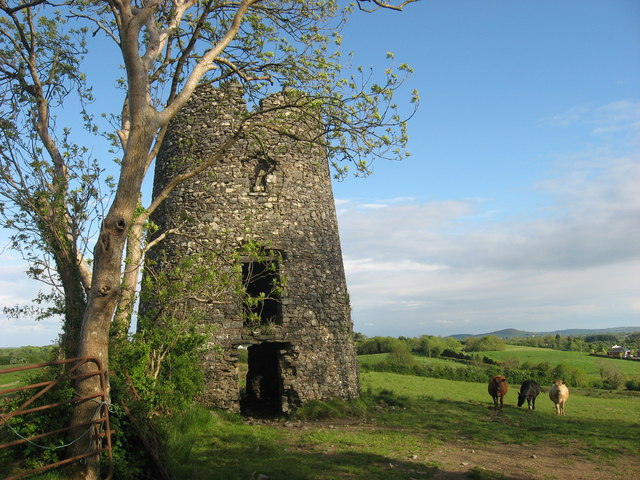 Windmill in Enagh (crossbane Ed)Windmill · 1538 yd
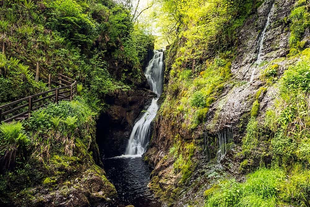 Annagharnet North ForestForest · 1745 yd
 Birthplace of General Philip SheridanMemorial · 1.1 mi
 Beagh Glebe ForestWood · 1.3 mi
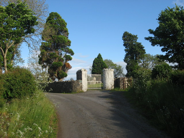 Grave YardGraveyard · 1.3 mi
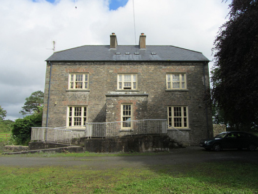 rectory/glebe/vicarage/curate's houserectory/glebe/vicarage/curate's house · 1.4 mi
 Carraig-na-SasanacNamed rock · 1.4 mi
 The Big Man's GraveArchaeological place · 1.5 mi
 Black RockMountain / peak · 1.6 mi
 Welcome to VirginiaVisitor information · 3.0 mi