What is recorded here
Situated on a fairly level landscape with a small E-W canalised stream to the S. This feature is not depicted on any map but is visible on aerial photographs (ACAP: 306/ 1363, 1364), and on some later images (Digital Globe; OSAP (2017); Google Earth 18/06/2017). This consists of a low grass-covered mound (diam. 54.3m N-S; 51.3m E-W; H 1.4m) separated by a berm (Wth 4.8-6m) from a low earthen bank (at SSE: Wth of base 8m; int. H 0.4m; ext. H 1m) ESE-SSE that is largely reduced to a scarp (H 1m) (max. ext. diam. 72m).
The above description is derived from the published 'Archaeological Inventory of County Meath' (Dublin: Stationery Office, 1987). In certain instances the entries have been revised and updated in the light of recent research.
Compiled by: Michael Moore
Date of revision: 16 April 2019
Stepped barrow, dating to the Neolithic or early Bronze Age. Its construction and location suggest ceremonial or funerary significance, though specific details remain unclear due to lack of mapped context.
The monument record does not grant public access. Check the route and ask the landowner before entering private land.
- What survives
- Recorded monument
Places near here
 AbbeyChurch · 1635 yd
 CastleCastle, motte · 1667 yd
 St. Laurences StoneRitual site, holy/saint's stone · 1739 yd
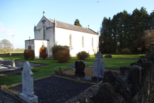 Saint Laurence's Catholic Churchchurch/chapel · 1.2 mi
 Enclosure in Ballyboy (lune By., Rathmore Par.)Enclosure · 1.4 mi
 FarmaphobiaHeritage attraction · 1.6 mi
 Causey FarmHeritage attraction · 1.6 mi
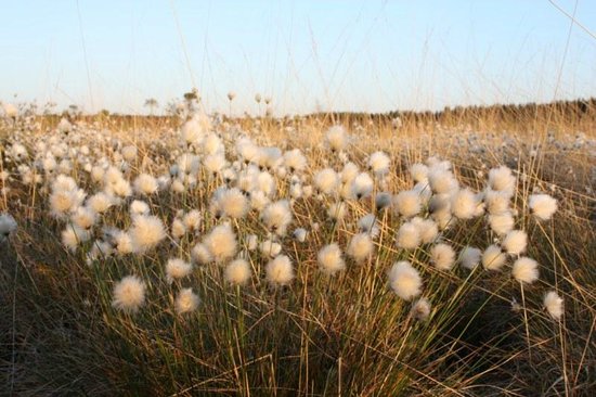 Native Woodland Trust: Girley Bog ReserveWood · 2.0 mi
 Girley WoodWood · 2.1 mi
 JamestownMountain / peak · 2.1 mi
 BoglandMemorial · 2.2 mi
 Drewstown LittleMountain / peak · 2.9 mi