What is recorded here
Situated on a low hillock in undulating countryside with good views in all directions. A natural hillock, the base of which has been scarped and the top flattened to form a flat-topped mound (diam. N-S 37m; H 1.5m) enclosed by a wide berm (Wth 3-5m) with no evidence of an outer fosse.
The above description is derived from 'The Archaeological Inventory of County Tipperary. Vol. 1 - North Tipperary' compiled by Jean Farrelly and Caimin O'Brien (Dublin: Stationery Office, 2002). In certain instances the entries have been revised and updated in the light of recent research.
Date of upload/revision: 22 September 2008
Stepped barrow, likely dating to the Neolithic or early Bronze Age. Its construction reflects early mound-building traditions and the modification of natural features for ceremonial or burial purposes.
The monument record does not grant public access. Check the route and ask the landowner before entering private land.
- What survives
- Recorded monument
Places near here
 Enclosure in Piercetown (rahelty Par.)Enclosure · 696 yd
 Enclosure in Borris (twomileborris Par.)Enclosure · 1.5 mi
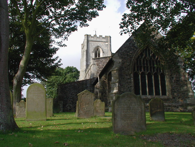 Rahelty Church (in Ruins), Grave YardChurch · 1.6 mi
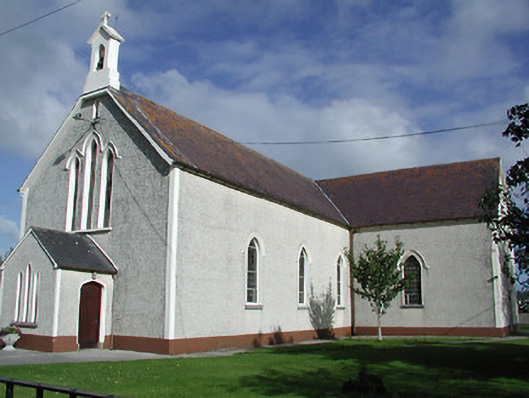 Saint James's Catholic Churchchurch/chapel · 1.7 mi
 Rahelty CastleCastle · 1.7 mi
 CastleCastle, tower house · 1.7 mi
 European ashEuropean ash · 3.4 mi
 Sweet ChestnutSweet Chestnut · 4.1 mi
 St. Mary's Famine and War MuseumMuseum · 4.1 mi
 Famine & War MuseumMuseum · 4.2 mi
 Horse and JockeyVisitor information · 6.2 mi
 Gobban Saer's GraveArchaeological place · 6.9 mi