What is recorded here
Barrow is a ring-barrow on a gentle coastal slope in County Clare, Ireland, now buried beneath quarry spoil instead of standing proud beside its neighbour. The land was torn open for extraction, dragging the ancient marker into darkness while the other two barrows remained visible nearby. What was taken is not forgotten, only hidden beneath the very ground that consumed it.
Situated on the gentle S-facing slope of a coastal ridge in pasture immediately N of a promontory fort (CL065-027----). One of three ring-barrows visited in May 1992 (pers. comm. Markus Casey, SMR file). On inspection in 2003 it was noted that this area was quarried away as part of extensive quarrying at the adjacent promontory fort. It is possible that spoil heaps immediately N of the quarried area are covering the monument. The other two ring-barrows (CL065-109002- and CL065-109001-) are extant (in 2019) and lie 65m to N and 140m to NNW respectively.
This monument is subject to a preservation order made under the National Monuments Acts 1930 to 2014 (PO no. 3/2002).
Compiled by: Mary Tunney
Date of upload: 11 March 2019
The monument record does not grant public access. Check the route and ask the landowner before entering private land.
- What survives
- Recorded monument
Places near here
 DoondoillroePromontory fort, coastal · 147 yd
 Tullig PointHeadland · 514 yd
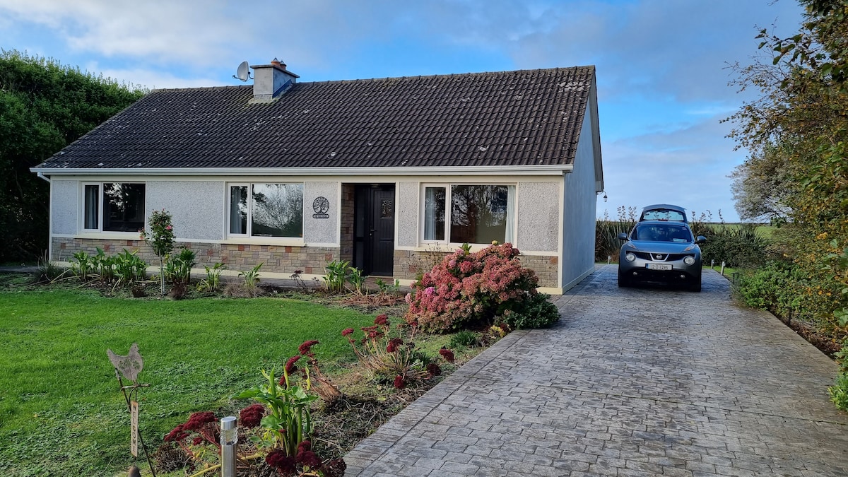 LisroeFairy fort / earthen ringfort · 1279 yd
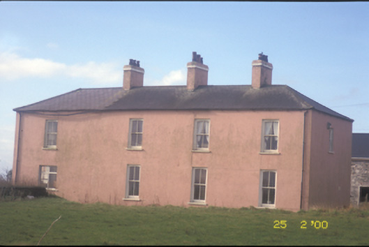 Kilballyowen Househouse · 1.0 mi
 Church (in ruins)Church · 1.2 mi
 Cloghaunsavaun Castle (Site of)Castle, unclassified · 1.8 mi
 Knocknagarhoon CastleRuins · 2.6 mi
 Grave of the Yellow MenMemorial · 3.1 mi
 Bridges of RossVisitor information · 3.1 mi
 Kilcloher HeadHeadland · 3.2 mi
 Bridge of RossViewpoint · 3.3 mi
 Morven AnchorMemorial · 3.7 mi