What is recorded here
Barrow is a ring-barrow on a coastal ridge in County Clare, Ireland. It has a central mound, a waterlogged fosse, an outer bank and a causewayed entrance at the east. The shape still reads clearly across the boggy grazing land, while another barrow lies not far to the southeast.
Situated on the gentle S-facing slope of a coastal ridge in a boggy area used for grazing with good views E to NW. A fairly well-preserved circular area (20.1m N-S; 19.5m E-W) with a central flat mound (12m N-S; 13m E-W; H 0.3m), a flat-bottomed fosse (Wth 0.8-1.2m) and a well-defined outer bank (Wth 3.5m; int. H 0.5m; ext. H 0.2-0.5). There is a causewayed entrance (Wth 3m) at E and the fosse is waterlogged to N and S of this. A small water-filled hollow (Wth 1.8m; D 0.5m) is located near the centre but does not appear to be contemporary. Another ring-barrow (CL065-109002-) lies 75m to SE and a third (CL065-109003-) lay c. 140m to SE but the third one has been destroyed by quarrying at the adjacent promontory fort (CL065-027----).
The following images have been uploaded:
CL065-109001-_01.jpg View of ring-barrow from S.
CL065-109001-_02.jpg View from NW.
CL065-109001-_03.jpg View of entrance feature at E.
This monument is subject to a preservation order made under the National Monuments Acts 1930 to 2014 (PO no. 3/2002).
Compiled by: Mary Tunney
Date of upload: 11 March 2019
A Neolithic ring-barrow; dates to the early to middle Neolithic period (c. 4000–3000 BCE). It represents a significant funerary monument type in Atlantic Europe, often associated with elite burial practices and social stratification.
This remains an important historical record, but the official description says the monument is no longer visible or has been destroyed. The monument record does not grant public access. Check the route and ask the landowner before entering private land.
- What survives
- No visible remains or recorded as destroyed
Places near here
 DoondoillroePromontory fort, coastal · 236 yd
 Tullig PointHeadland · 366 yd
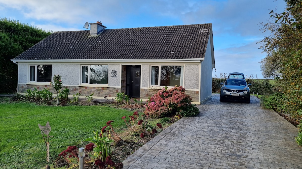 LisroeFairy fort / earthen ringfort · 1250 yd
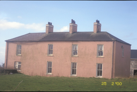 Kilballyowen Househouse · 1.1 mi
 Church (in ruins)Church · 1.3 mi
 Cloghaunsavaun Castle (Site of)Castle, unclassified · 1.8 mi
 Knocknagarhoon CastleRuins · 2.6 mi
 Bridges of RossVisitor information · 3.1 mi
 Grave of the Yellow MenMemorial · 3.1 mi
 Kilcloher HeadHeadland · 3.3 mi
 Bridge of RossViewpoint · 3.3 mi
 Morven AnchorMemorial · 3.8 mi