What is recorded here
At the top of a gorse-covered rise on a low W-facing spur in pasture, with wide views. Hachured on the 1842 and 1920 eds. of the OS 6-inch map. This circular ring-barrow (diam. 24m) is defined by a shallow, flat-based fosse (Wth 1.5-1.9m) and a low, rounded outer bank (Wth 2.5m; int. H 0.1-0.2m; ext. H 0.15-0.2m). The central mound (diam. at base 14.4m; diam. at top 11.9m; H 1-1.4m) is flat-topped and steep-sided. There is a small loose upright stone slab (H c. 1m; Wth c. 0.2m; T c. 0.2m) c. 25m to the SE.
Compiled by: Mary Tunney and Conn Herriott
Date of upload: 26 October 2022
A Neolithic ring-barrow, dating to approximately 3000–2500 BCE, representing an early form of burial monument associated with collective or elite interment. Its survival and mapping in the 19th and early 20th centuries highlight its archaeological value in understanding prehistoric funerary practices in the region.
The monument record does not grant public access. Check the route and ask the landowner before entering private land.
- What survives
- Recorded monument
Places near here
 Toomullin Church (in Ruins)Church · 520 yd
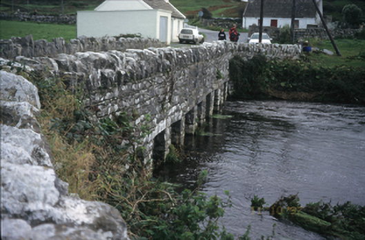 bridgebridge · 545 yd
 Fisherstreet PotCave · 550 yd
 CastleCastle, unclassified · 557 yd
 Enclosure in DoonmacfelimEnclosure · 821 yd
 Aughavinna FortFairy fort / earthen ringfort · 902 yd
 Doonmacfelim Castle (in Ruins)Castle, tower house · 929 yd
 Aran View SwalletCave · 1619 yd
 Doolin FerriesHeritage attraction · 1.4 mi
 Wild Atlantic Way: Doolin PierVisitor information · 1.4 mi
 Ballaghaline PointHeadland · 1.5 mi
 Doolin PointHeadland · 1.6 mi