What is recorded here
In pasture, on N-facing slope. One of three adjacent possible ringbarrows (CO010-06301-, 06303-). Circular area (diam. 2.6m) enclosed by fosse (D 0.1m; Wth 1.2m).
The above description is derived from the published 'Archaeological Inventory of County Cork. Volume 4: North Cork' (Dublin: Stationery Office, 2000). In certain instances the entries have been revised and updated in the light of recent research.
Date of upload/revision: 14 January 2009
The monument record does not grant public access. Check the route and ask the landowner before entering private land.
- What survives
- Recorded monument
Places near here
 BarrowBarrow, mound barrow · 924 yd
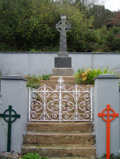 monumentmonument · 933 yd
 Saint Molaga's Churchchurch/chapel · 1054 yd
 Enclosure in TullaEnclosure · 1315 yd
 Kilclooney WoodWood · 1.5 mi
 Site of CastleCastle, unclassified · 2.1 mi
 CarrigeenamronetyMountain / peak · 2.6 mi
 Ballyarthur HillMountain / peak · 3.0 mi
 CastleCastle, unclassified · 3.2 mi
 Ballyhoura WayWalking route · 4.2 mi
 Palatine's RockNamed rock · 4.5 mi
 Flat cemetery in Ballyenahan NorthFlat cemetery · 4.9 mi