What is recorded here
Surveyed in 2013 and described by McGuinness (2014, 60-1) as following: 'Monument was destroyed by ploughing not long before 1987, when visited by an ASI fieldworker; the present survey-team searched for traces of it but found nothing. It had been seen and recorded twice during ASI fieldwork in 1979 and 1980, when a plan and profile were made, from which it is clear that this was a ring-barrow. The second description is given here: A small roughly circular earthwork outlined by a narrow, shallow fosse with the remains of a faint, low external bank. The bank has been levelled from WNW-NW-N and elsewhere is very low and faint. The fosse is narrow and shallow and is preserved all round. The interior is level and featureless. The interior is not raised above the surrounding field. The barrow is located on rising ground in undulating pasture land. There are extensive views to the N and W, overlooked by a ridge to the SE, good views to the S .... There are old cultivation ridges running roughly E-W through the field S of the site. The ridges run up to its bank at the SSW and SSE but they do not cross the site. [SMR file] From the 1979 account it can be added that the diameter, ‘crest to crest of bank’, was 11.1m N-S x 11.3m E-W. A plan and profile of the monument made before its destruction, included in the SMR file, show this monument to be a ring-barrow with level interior, which could also be termed an embanked ring-ditch. Barrow lay c. 200m NW of site of graveyard (WM018-061---) marked on OS 6” map. Kilpatrick Fort, a ringfort (WM018-063----) marked on OS 6” map, lay less than 600m to SSE and St. Patrick’s Well (WM018-059----) lies c. 1km to S. Site of Simonstown Castle (WM018-040----) and a disused farmstead lie less than 500m to S, and between these and the barrow Killahugh is marked on 1837 OS 6” map, although no ancient church has been documented in this location'.
Compiled by: Caimin O'Brien based on details provided by David McGuinness.
Date of upload: 23 February 2015
This remains an important historical record, but the official description says the monument is no longer visible or has been destroyed. The monument record does not grant public access. Check the route and ask the landowner before entering private land.
- What survives
- No visible remains or recorded as destroyed
Places near here
 Simonstown Castle (in Ruins)Castle, unclassified · 500 yd
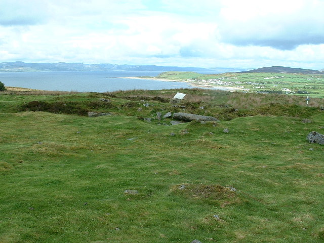 Enclosure in Kilpatrick (rathconrath By.)Enclosure · 590 yd
 Kilpatrick FortFairy fort / earthen ringfort · 620 yd
 Site of CastleCastle, unclassified · 787 yd
 32nd Lock Keeper's HouseRuins · 1033 yd
 Cartron Househouse · 1394 yd
 Ancient Ring FortWood · 1.7 mi
 WestmeathVisitor information · 1.8 mi
 Baronstown ForestWood · 3.6 mi
 Carrickphilbin IslandIslet · 4.2 mi
 Srudarra IslandIslet · 4.7 mi
 Abbeyshrule AbbeyRuins · 6.7 mi