
What is recorded here
In rough pasture, on N-facing slope. Circular area (diam. c. 5.18m) enclosed by fosse (D 0.6m) with external bank (int. H 0.7m; ext. H 0.5m). Bank levelled NE->SE; gap to WNW. According to Bowman (1934, 454), field named 'An Liosan'.
The above description is derived from the published 'Archaeological Inventory of County Cork. Volume 4: North Cork' (Dublin: Stationery Office, 2000). In certain instances the entries have been revised and updated in the light of recent research.
Date of upload/revision: 14 January 2009
A Neolithic ring-barrow, dating to the Early to Middle Neolithic period (c. 4000–3000 BCE), representing an early form of burial monument associated with the initial phases of megalithic funerary practice in Ireland. Its fosse and bank construction reflects early experimentation in earthwork design that later evolved into more complex passage tomb traditions.
The monument record does not grant public access. Check the route and ask the landowner before entering private land.
- What survives
- Recorded monument
Places near here
 KilnKiln, lime · 742 yd
 Fulacht FiadhFulacht fia · 884 yd
 IndicatedKiln, lime · 1.0 mi
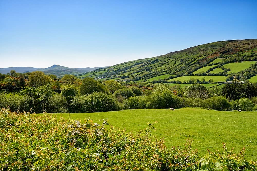 Fulacht fia in Glenreagh (duhallow By.)Fulacht fia · 1.2 mi
 Doctor's HillMountain / peak · 2.9 mi
 TaurMountain / peak · 4.4 mi
 Barna BogForest · 5.8 mi
 Nohaval WoodWood · 6.7 mi
 Three CountiesPicnic place · 7.2 mi
 Site of Ardnagragh CastleCastle, unclassified · 7.3 mi
 Ardnacreach CastleCastle · 7.3 mi
 Millstreet Museum & Tourist Information CentreMuseum · 11 mi
Other information
Photo: Credit not shown in the picture search · Rights wording not checked; contact us if this picture should be removed