What is recorded here
Timoney (1984, 322, no. 4) describes this as follows: ‘The total diameter of this ring-barrow, sited on flat ground, is 15 m. A circular mound, 5 m in diameter and 40 cm high, is surrounded by a "U"-bottomed fosse 2.70 m wide and 35 cm deep and this in turn by a bank 2.30 m wide and 40 cm high. The south side of the bank has been disturbed by the building of a modern field bank. The developments of the field mentioned above under Seafield I have caused the removal of the top part of the bank and the barrow-proper for most of the northwest third of the monument. Burenhult (1980:1, 93, 107) includes this within Structure 13, Knocknahur North, recte Seafield, a group of five structures, all of which registered very low phosphate values.’
Compiled by: Paul Walsh
Date of upload: 28 January 2014
A Neolithic ring-barrow, dating to the Early to Middle Neolithic period (c. 3500–2500 BCE), characterized by a central mound surrounded by a ditch. Such monuments are significant as early ritual or funerary structures, reflecting communal burial practices and social organization in prehistoric Britain.
The monument record does not grant public access. Check the route and ask the landowner before entering private land.
- What survives
- Recorded monument
Places near here
 Enclosure in SeafieldEnclosure · 48 yd
 Field boundary in Ballybeg (carbury By.)Field boundary · 187 yd
 Church (in Ruins)Church · 868 yd
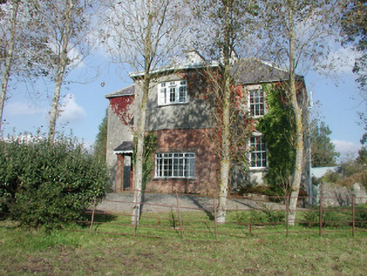 Breeoge Househouse · 1128 yd
 Castle (in Ruins)Castle, unclassified · 1421 yd
 Carrowmore Visitors CentreVisitor information · 1710 yd
 Carrowmore Megalithic CemeteryHeritage attraction · 1.1 mi
 The GlenWood · 1.1 mi
 CarrigeenfaddaIslet · 1.2 mi
 Knocknarea trailWalking route · 1.4 mi
 KnocknareaMountain / peak · 1.7 mi
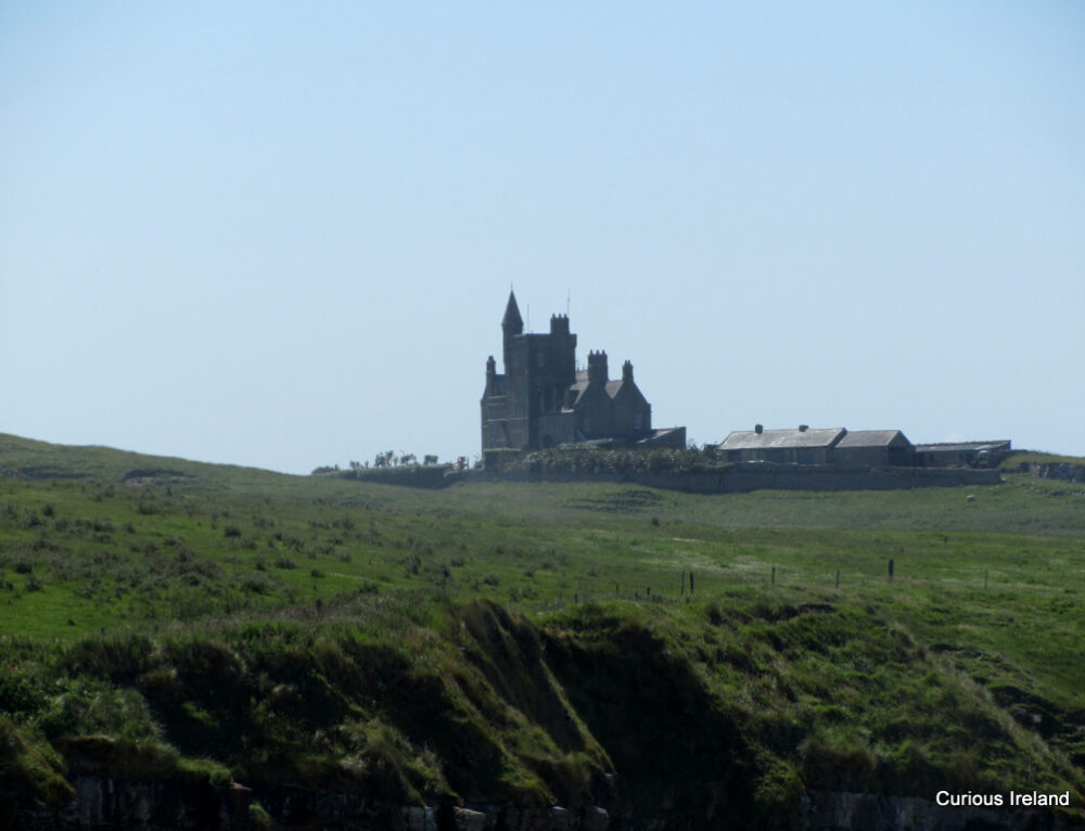 CastleCastle, unclassified · 2.2 mi