What is recorded here
Marked only on the 1929 ed. of the OS 6-inch map as a small mound (diam. c. 10m), and situated on a slight rise at the crest of the N-facing slope of a broad W-E spur. This is a circular, domed and grass-covered mound (diam. 22.5m N-S; 21m E-W; H 0.25m). Geophysical survey (09R145) confirms that it was a mound (diam. c. 8m), possibly with a central pit, enclosed by a fosse (ext. diam. c. 12-15m) and outer bank (max. ext. diam. c. 25m), which may have had an entrance at SW (Barton 2009). Archaeological testing (09E0525) outside a buffer zone ((Wth c. 30m) failed to produce any related material (Morahan 2012). Moated site (RO034-070----) is c. 40m to the NW.
Compiled by: Michael Moore
Date of upload: 24 August 2010
A ring-barrow, likely dating to the Early Bronze Age, and representing a type of funerary monument associated with single inhumations. Its presence indicates prehistoric settlement and burial activity in the area, though its wider significance remains unexplored.
The monument record does not grant public access. Check the route and ask the landowner before entering private land.
- What survives
- Recorded monument
Places near here
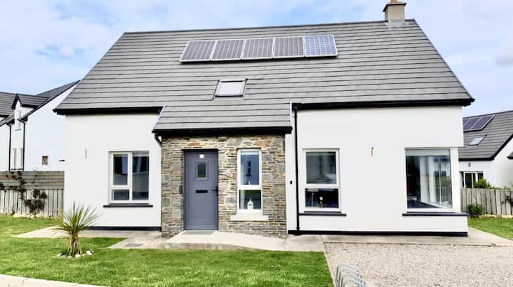 Enclosure in Creeve (ballymoe By.)Enclosure · 1004 yd
 Embanked enclosureFairy fort / earthen ringfort · 1154 yd
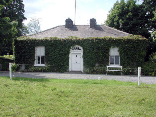 Ballydooley Lodgegate lodge · 1324 yd
 HawthornHawthorn · 1505 yd
 Old KilnKiln · 1.3 mi
 European ashEuropean ash · 4.4 mi
_-_geograph.org.uk_-_1952978.jpg?width=1280) Bawn in Glinsk (ballymoe By.)Bawn · 4.9 mi
Bawn in Glinsk (ballymoe By.)Bawn · 4.9 mi CastleCastle, Anglo-Norman masonry castle · 4.9 mi
 Site of Killomaine Grave YardArchaeological place · 5.4 mi
 Roscommon CastleCastle · 6.0 mi
 Sally IslandIslet · 7.4 mi
 Mount MaryMountain / peak · 8.0 mi