What is recorded here
In level pasture, at the break of a NW-facing slope. A circular area (diam. 2m) defined by a fosse and external earthen bank. The fosse (Wth c. 1.3m) is visible only as an area of soft ground inside the bank. The surface of the interior is even and grass-covered and level with the external ground level. The bank (Wth 4.2m; int. H 0.35m; ext. H 0.40m) is evident all around but is broken at SW and NW where it is crossed by a N-S field boundary.
The above description is derived from the published 'Archaeological Inventory of County Sligo' compiled by Ursula Egan, Elizabeth Byrne, Mary Sleeman with Sheila Ronan and Connie Murphy (Dublin Stationery Office, 2005).
Date of upload: 18 January 2008
A ring-barrow, likely dating to the Early Bronze Age, associated with single inhumation burials. Its construction reflects early mound-building traditions in the British Isles.
The monument record does not grant public access. Check the route and ask the landowner before entering private land.
- What survives
- Recorded monument
Places near here
 Enclosure in Rathdoony BegEnclosure · 663 yd
 KilnKiln, lime · 973 yd
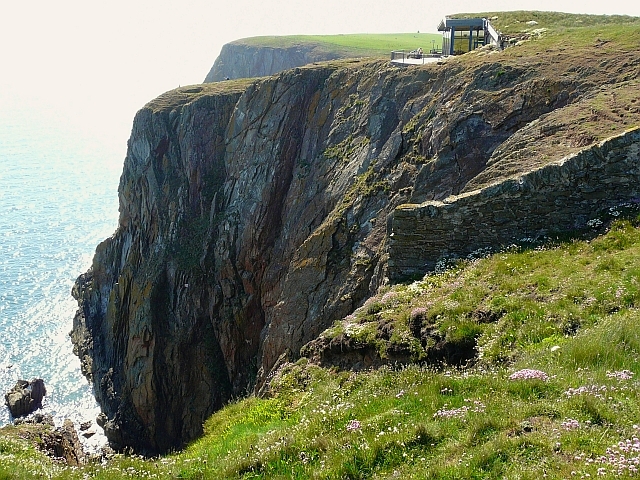 Cliff-edge fort in Carrigans UpperCliff-edge fort · 1069 yd
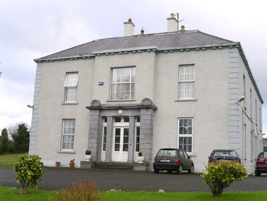 Earlsfieldhouse · 1.1 mi
 RathdoonyCastle, motte · 1.2 mi
 Brother WalfridMemorial · 1.5 mi
 Ballymote CastleCastle · 1.5 mi
 ElderElder · 2.6 mi
 European ashEuropean ash · 3.1 mi
 James MorrisonMemorial · 3.4 mi
 Caves of KeshCave · 4.5 mi
 School CaveCave · 4.6 mi