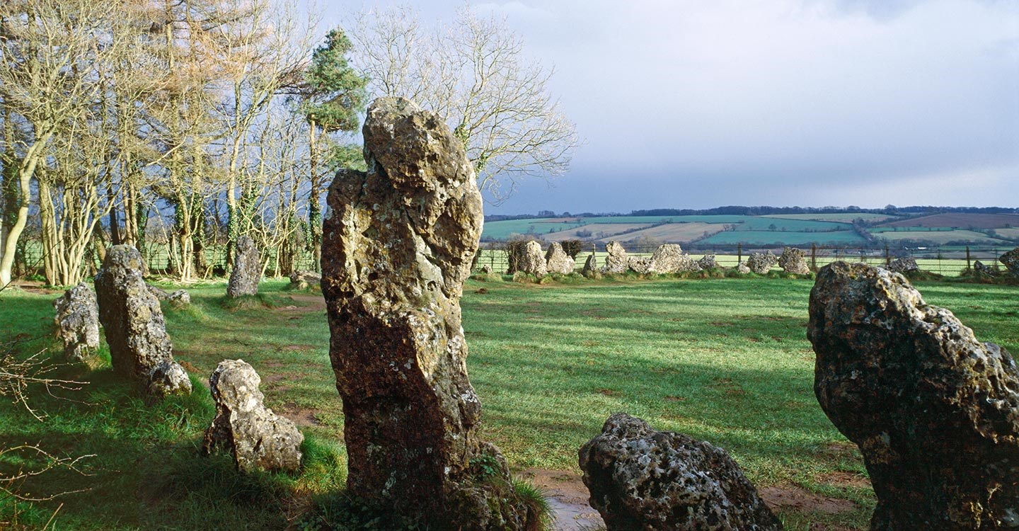
What is recorded here
In pasture, on gentle W-facing slope. Noted as area of differential growth in field. According to local information, circle of thistles and daisies (diam. c. 7m) clearly visible at certain times. Visible as cropmark on aerial photograph (CASAP).
The above description is derived from the published 'Archaeological Inventory of County Cork. Volume 4: North Cork' (Dublin: Stationery Office, 2000). In certain instances the entries have been revised and updated in the light of recent research.
Date of upload/revision: 14 January 2009
A Neolithic ring-barrow; dates to the early to middle Neolithic period (c. 4000–3000 BCE). It is significant as a rare surviving example of a circular funerary monument, potentially indicating a local tradition of communal burial or elite interment.
The monument record does not grant public access. Check the route and ask the landowner before entering private land.
- What survives
- Recorded monument
Places near here
 Fulacht FiadhFulacht fia · 1198 yd
 IndicatedKiln, lime · 1.1 mi
 KilnKiln, lime · 1.1 mi
 Fulacht fia in FoilogohigFulacht fia · 1.2 mi
 TaurMountain / peak · 3.3 mi
 Doctor's HillMountain / peak · 4.2 mi
 Castle McAuliffe (Site of)Castle, unclassified · 6.4 mi
 Nohaval WoodWood · 7.2 mi
 Barna BogForest · 7.2 mi
 Three CountiesPicnic place · 7.2 mi
 CastleCastle, unclassified · 7.2 mi
 Millstreet Museum & Tourist Information CentreMuseum · 10 mi
Other information
Photo: Credit not shown in the picture search · Rights wording not checked; contact us if this picture should be removed