What is recorded here
In level pasture, with views SW to Mangerton Mountain. A roughly circular area (c. 12m E-W; c. 10m N-S) enclosed by a low earthen bank (Wth 3.3m; int. H 0.25m; ext. H 0.3m). Faint traces of an internal fosse are evident ENE-SW. Boulders and smaller stones clutter the S half of the interior and its enclosing bank. Trees and undergrowth partially obscure the ring-barrow.
Compiled by: Elizabeth Byrne, Ursula Egan and Sheila Ronan, Archaeological Survey Unit, University College, Cork.
Date of upload: 31 January 2011
Ring-barrow, likely dating to the Early Bronze Age. Its construction reflects a common funerary tradition in Britain and Ireland, indicating local ritual practices and social organization of the period.
The monument record does not grant public access. Check the route and ask the landowner before entering private land.
- What survives
- Recorded monument
Places near here
 Enclosure in ParkEnclosure · 269 yd
 IndicatedFairy fort / earthen ringfort · 450 yd
 Mass RockNamed rock · 1453 yd
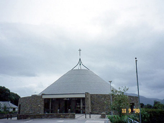 Catholic Church of the Resurrectionchurch/chapel · 1535 yd
 Lissivigeen Stone CircleHeritage attraction · 1.0 mi
 Woodfordhouse · 1.1 mi
 Flesk CastleCastle · 1.3 mi
 Kerry 2nd Brigade of the Irish Republican ArmyMemorial · 1.5 mi
 Killarney First World War MemorialMemorial · 1.5 mi
 Jaunting ToursHeritage attraction · 1.6 mi
 GinkgoGinkgo · 1.6 mi
 The WildernessForest · 1.9 mi