
What is recorded here
On NE slope of Carrigagour. Circular, slightly raised platform (diam. 4.8m) enclosed by fosse (D 0.48m; Wth 3m) with external bank (H 0.4m). Site overgrown with bracken. Locally known as 'lios' (Hartnett 1939, 79).
The above description is derived from the published 'Archaeological Inventory of County Cork. Volume 3: Mid Cork' (Dublin: Stationery Office, 1997). In certain instances the entries have been revised and updated in the light of recent research.
Date of upload/revision: 14 January 2009
Ring-barrow, likely dating to the Early Bronze Age. Its construction and local name 'lios' suggest a ceremonial or funerary function, typical of Bronze Age burial traditions in Ireland.
The monument record does not grant public access. Check the route and ask the landowner before entering private land.
- What survives
- Recorded monument
Places near here
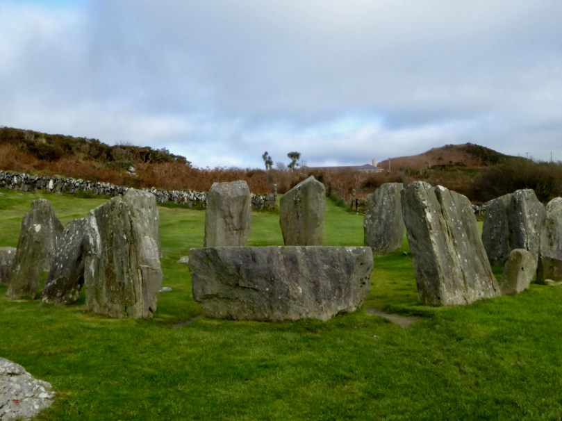 Stone CircleCairn, radial-stone cairn · 743 yd
 Man-made underground passage in Dooneens (muskerry East By.)Man-made underground passage · 821 yd
 KilnKiln, lime · 1639 yd
 farm housefarm house · 1727 yd
 BurrenMountain / peak · 1.8 mi
 Knockduff Wind FarmVisitor information · 2.5 mi
 Knockcraugh HillMountain / peak · 2.7 mi
 Clonavrick CliffCliff · 3.4 mi
 Black WoodWood · 3.5 mi
 Mullinhassig WaterfallWaterfall · 4.3 mi
 Mullinhassig WoodWood · 4.3 mi
 Saint Bartholomew's WellSpring · 4.5 mi
Other information
Photo: Credit not shown in the picture search · Rights wording not checked; contact us if this picture should be removed