
What is recorded here
Barrow described in 1942-3 as following; 'This consists of a circular platform surrounded by a fosse. Outside the fosse is a slight bank which is broken in four places. These breaks seem to have been caused by the making of drains in the field. But in spite of the drains the fosse remains water-logged. The platform has a height of 1' [0.3m] over the field level and the overall diameter is 204' [62m]. It is in low-lying marshy ground. In the north-west quadrant of the platform is a very well made ring-barrow. This consists of a slight mound around which there is a fosse which is well defined. Outside this there is a very slight continuous bank. The overall diameter is 36' [11m] (O'Kelly 1942-3, 239). Outline of barrow clearly visible today on Digital Globe aerial photographs.
Compiled by: Caimin O'Brien
Date of upload: 6 March 2020
See attached ASI aerial photographs ASIAP - 369/2, 3, 4, 5, 6, 7, 8, 9 on 10/05/2003.
A ring-barrow, likely dating to the Early Bronze Age, characterized by a circular platform surrounded by a fosse and external bank. Such barrows are significant as they represent early funerary monuments and provide insights into prehistoric burial practices.
The monument record does not grant public access. Check the route and ask the landowner before entering private land.
- What survives
- Recorded monument
Places near here
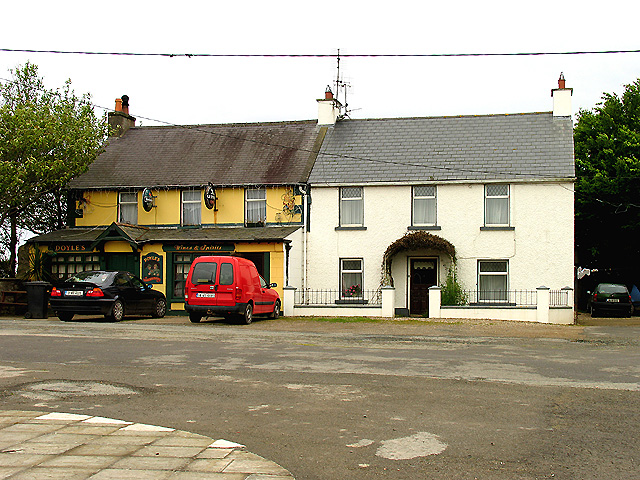 BarrowBarrow, ditch barrow · 298 yd
 CastleCastle, motte · 750 yd
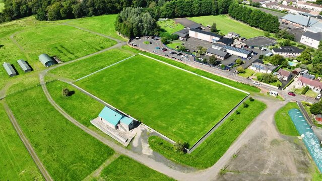 Field system in BallyhoneField system · 1063 yd
 Ahnageeragh Bridgebridge · 1.1 mi
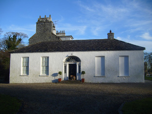 Kenmare Castlehouse · 1.5 mi
 Glebe Ho.Castle, unclassified · 1.7 mi
 Flat cemetery in Knockainy WestFlat cemetery · 2.6 mi
 Kilteely HillMountain / peak · 3.1 mi
 St Patrick's WellSpring · 3.2 mi
 St. Patrick's WellSpring · 3.5 mi
 Ballinvreena LoopVisitor information · 6.1 mi
 SlievereaghMountain / peak · 6.7 mi
Other information
Photo: Credit not shown in the picture search · Rights wording not checked; contact us if this picture should be removed