What is recorded here
In pasture, on a low rise of an otherwise NE-facing slope; overlooking poorly drained land to E. Circular area (dims. 4m N-S; 3.9m E-W) defined by scarp (Wth 0.7m; H 0.1m) and a fosse (Wth 1.6-2.75m; D 0.1-0.15m). Slight trace of levelled outer bank best defined NE-ESE and traceable NW-E-SW. Monument cut into hillslope SW-W-NW to level the interior which has a slight NE-facing slope. Identified on aerial photographs (OS 2396/7 and 2347/8) as a ring-ditch. Ditch-barrows (TS066-031001- and TS066-031002-) are c. 73m and c. 66m to SE respectively. Cork-Limerick Junction railway line is c. 100m to SE.
Compiled by: Jean Farrelly
Date of upload: 26 August 2011
The monument record does not grant public access. Check the route and ask the landowner before entering private land.
- What survives
- Recorded monument
Places near here
 Enclosure in Lattin NorthEnclosure · 404 yd
 Field system in Clasheleesha,lattin NorthField system · 465 yd
 grottogrotto · 1678 yd
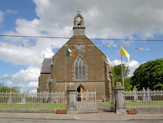 Catholic Church of the Assumptionchurch/chapel · 1759 yd
 CastleCastle, ringwork · 1.6 mi
 Site of Castle LoaghnyCastle, unclassified · 2.2 mi
 Oola HillMountain / peak · 4.5 mi
 St Patrick's WellSpring · 5.3 mi
 Saint Patrick's WellSpring · 5.4 mi
 Kilteely HillMountain / peak · 5.6 mi
 Flat cemetery in Knockainy WestFlat cemetery · 6.6 mi
 Ballinvreena LoopVisitor information · 8.0 mi