What is recorded here
In grassland, immediately E of the townland boundary with Castledermot and S of the Lerr River. Cropmark of circular-shaped area (approx. int. diam. 12m) defined by a ditch with low external bank visible on Google Earth orthoimages taken 22/03/2011 and 05/11/2011. Cropmark clearly visible on Digital Globe orthoimage take 2005-12.
See attached Google Earth orthoimages
Compiled by: Caimin O'Brien based on details provided by Seán Sourke
Date of upload: 11 December 2020
Ring-barrow, likely dating to the Early Bronze Age. Its circular ditch and external bank suggest a funerary monument of regional significance, typical of burial practices in the Irish lowlands during the second millennium BCE.
The monument record does not grant public access. Check the route and ask the landowner before entering private land.
- What survives
- Recorded monument
Places near here
 Doyle's Bridgebridge · 81 yd
 Abbey (in Ruins)Religious house, Franciscan friars · 158 yd
 Franciscan FriaryHeritage attraction · 175 yd
 Enclosure in Abbeyland (castledermot Ed)Enclosure · 185 yd
 St. James or Abbey WellHoly well · 203 yd
 Castledermot Round TowerHeritage attraction · 326 yd
 ProclamationMemorial · 642 yd
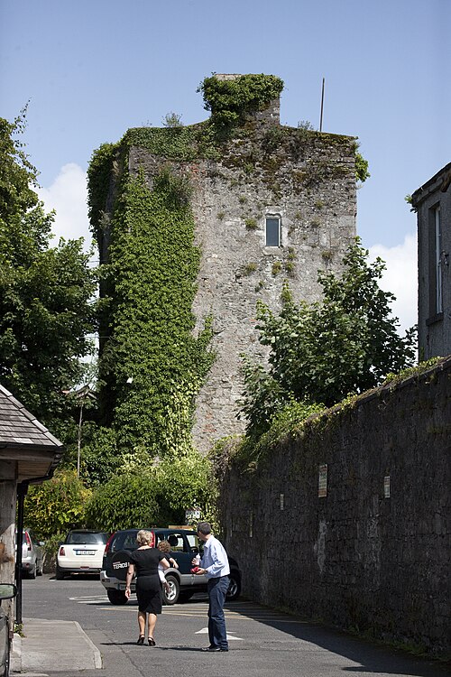 Kyledrumman Castle (in ruins)Castle, unclassified · 2.5 mi
 Lorcán Ó TuathailMemorial · 2.5 mi
 CastleCastle, ringwork · 2.5 mi
 Mullaghreelan WoodForest · 2.6 mi
 European YewEuropean Yew · 3.2 mi