
What is recorded here
First recorded in August 1995 in an aerial photographic survey by Dr. Gillian Barrett. Aerial photograph (GB95.FU.21) shows low-level earthworks of two conjoined rectangular enclosures.
Compiled by: Dr. Gillian Barrett
Date of upload: 13 December 2011
The monument record does not grant public access. Check the route and ask the landowner before entering private land.
- What survives
- Recorded monument
Places near here
 Doyle's Bridgebridge · 106 yd
 Abbey (in Ruins)Religious house, Franciscan friars · 108 yd
 St. James or Abbey WellHoly well · 114 yd
 Franciscan FriaryHeritage attraction · 116 yd
 Site of Town WallTown defences · 297 yd
 Castledermot Round TowerHeritage attraction · 388 yd
 ProclamationMemorial · 468 yd
 Lorcán Ó TuathailMemorial · 2.4 mi
 CastleCastle, ringwork · 2.4 mi
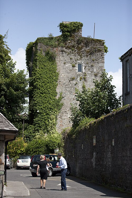 Kyledrumman Castle (in ruins)Castle, unclassified · 2.5 mi
 Mullaghreelan WoodForest · 2.6 mi
 European YewEuropean Yew · 3.2 mi
Other information
Photo: Credit not shown in the picture search · Rights wording not checked; contact us if this picture should be removed