What is recorded here
On reclaimed pasture, with moderate views in all directions, ring-barrow (LI025-032----) 20m to W. Cropmark of a double-ditched ring-barrow visible on OSi orthophoto taken 2005-12 and Google Earth orthoimage taken 18/11/2018.
See attached Google Earth orthoimage taken 18/11/2018 and photos courtesy of Ed O'Donovan
Compiled by: Caimin O'Brien based on details provided by Edmond O'Donovan
Date of upload: 24 September 2020
A ring-barrow, likely dating to the Early Bronze Age, associated with a double-ditched ring-barrow cropmark; such monuments are significant as funerary and ritual sites in prehistoric Ireland.
The monument record does not grant public access. Check the route and ask the landowner before entering private land.
- What survives
- Recorded monument
Places near here
 BarrowBarrow, ditch barrow · 341 yd
 Megalithic tomb in Garryduff (coonagh By.)Megalithic tomb · 656 yd
 Oola National Schoolschool · 1348 yd
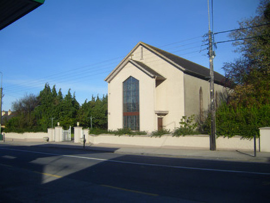 Catholic Church of the Sacred Heartchurch/chapel · 1398 yd
 CloghadaltonCastle, unclassified · 1425 yd
 Oola HillMountain / peak · 1.0 mi
 Oola Castle (in ruins)Castle, tower house · 1.3 mi
 ToberagaddySpring · 3.2 mi
 KnockseefinMountain / peak · 4.5 mi
 St. Patrick's WellSpring · 6.0 mi
 Flat cemetery in Knockainy WestFlat cemetery · 9.6 mi
 Field system in Garryduff (coonagh By.)Field system · 850 yd