What is recorded here
In gently undulating pasture, with moderate views in all directions. The townland boundary with Oolahills East is 260m to S and enclosure (LI025-015----) lies 350m to NNW. A series of newly discovered ring-barrows lie to the S, SW and W of the site within a radius of between 15-110m. The site is not depicted on the 1840 ed. OSi 6-inch map and is not depicted on the 1897 ed. OSi 25-inch map. The ring-barrow is visible as a small ring-barrow surrounded by a larger semi-circular enclosure on the OSi orthoimage taken 2005-12 and on the Digital Globe orthoimages taken 2011-2013. Inspected by ASI in 1999 when the ring-barrow was described as a circular raised area (int. diam. 5.2m) defined by a scarped edge with a shallow external fosse (Wth 1.7m; int. H 0.1m; ext. H 0.1m). The interior of the ring-barrow is level, dry. The fosse is less obvious on the W side where it has been recently infilled. No entrance present. The W side of the outer enclosure (ext. dims. 32m N-S; 21m E-W) has been removed as a surface feature by a modern field boundary. At the time of the field inspection by ASI the local farmer (pers. comm.) said that other sites were visible in the vicinity of the ring-barrow at different times of the year under different growth and climatic conditions. The ring-barrow within the enclosure is visible on Google Earth orthoimage taken 18/11/2018.
See attached sketch plan surveyed and drawn by the ASI and Google Earth orthoimages
Compiled by: Edmond O’Donovan
Date of upload: 24 September 2020
This remains an important historical record, but the official description says the monument is no longer visible or has been destroyed. The monument record does not grant public access. Check the route and ask the landowner before entering private land.
- What survives
- No visible remains or recorded as destroyed
Places near here
 BarrowBarrow, ditch barrow · 308 yd
 Megalithic tomb in Garryduff (coonagh By.)Megalithic tomb · 712 yd
 Oola National Schoolschool · 1354 yd
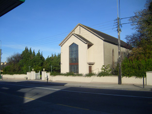 Catholic Church of the Sacred Heartchurch/chapel · 1403 yd
 CloghadaltonCastle, unclassified · 1446 yd
 Oola HillMountain / peak · 1.0 mi
 Oola Castle (in ruins)Castle, tower house · 1.3 mi
 ToberagaddySpring · 3.2 mi
 KnockseefinMountain / peak · 4.5 mi
 St. Patrick's WellSpring · 6.0 mi
 Flat cemetery in Knockainy WestFlat cemetery · 9.6 mi
 Field system in Garryduff (coonagh By.)Field system · 884 yd